Stublick Colliery

-
Description
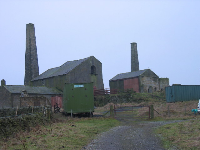
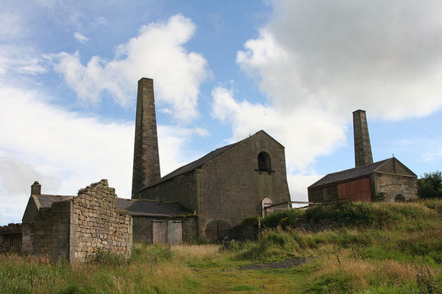
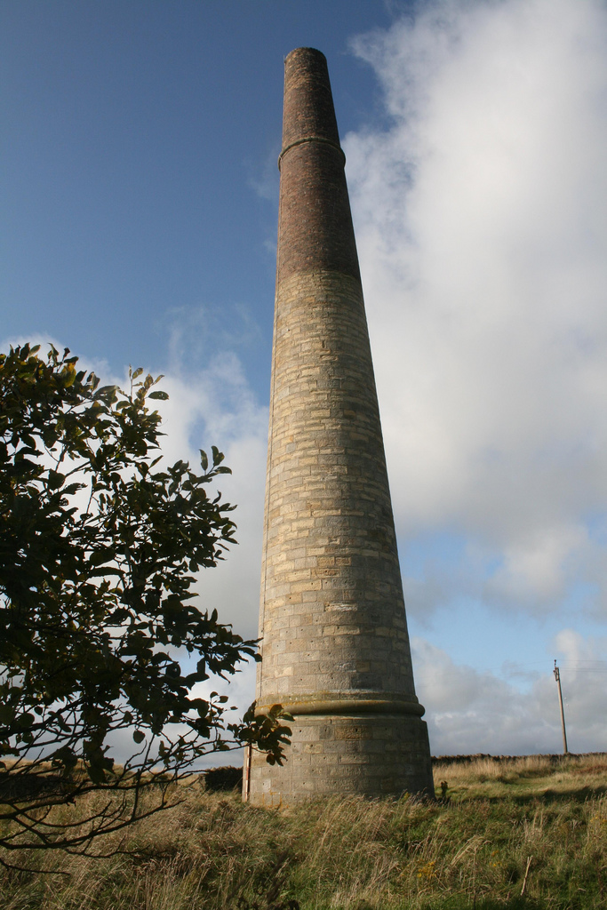
"On the OS Map OL43Stublick Colliery is marked as Stublick Farm. Stublick Colliery is one of the best surviving 19th century collieries in the country. It has a well preserved range of colliery buildings, including an engine house, store and furnace house and chimneys. The colliery worked the small Stublick coalfield and supplied coal to nearby Langley and Blaghill lead smeltmills. The mine closed in 1926 and all the building on this site have been abandoned." Photo by Les Hull, 2006. -
Owner
Les Hull -
Source
Geograph (Geograph) -
License
What does this mean? Creative Commons License
-
Further information
Link: http://www.geograph.org.uk/photo/116020
Resource type: Image
Added by: Simon Cotterill
Last modified: 6 years ago
Viewed: 733 times
Picture Taken: 2006-02-01 -
Co-Curate tags


