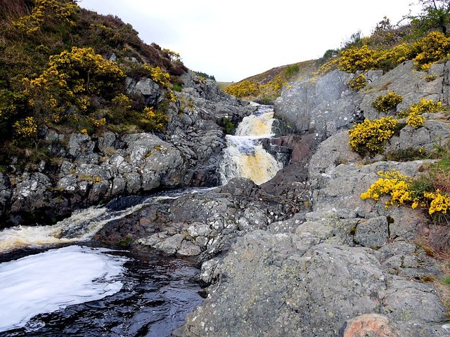
Careyburn Linn from below

-
Description
"A series of small waterfalls on the Carey Burn. There is a Photosynth view here http://photosynth.net/view.aspx?cid=8d7ba842-6640-43bb-9bf8-f749b538f805 The location is described here http://www.cheviotwalks.org/walk20.html This is location 3 in the geological trail. According to Peter Allen, the geological map shows many dykes in this area although they are not well defined. The top of the waterfall consists of dark grey volcanic andesite, while the bottom is a reddish buff, fine-grained porphyritic rock which may be one of the dykes [[2897747]]" Photo by Andrew Curtis, 2012. -
Owner
Andrew Curtis -
Source
Geograph (Geograph) -
License
What does this mean? Creative Commons License
-
Further information
Link: http://www.geograph.org.uk/photo/2897720
Resource type: Image
Added by: Simon Cotterill
Last modified: 5 years, 9 months ago
Viewed: 523 times
Picture Taken: 2012-04-13 -
Co-Curate tags


