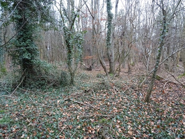
Cramlington Colliery Railway (Scott Pit Branch)

-
Description
"The Scott Pit Branch of the Cramlington Colliery Railway can be traced as earthworks, cropmarks and soilmarks on historical air photos. This feature is visible between NY27355 78534 and NY26699 80264. The Ordnance Survey map of 1898 (it is not depicted on the 1864 edition) shows this railway running from the Shankhouse Colliery northward to the Hartford Colliery but....." -
Owner
Keys to the Past (Durham & Northumbria County Councils) -
Source
Local (Co-Curate) -
License
What does this mean? Unknown license check permission to reuse
-
Further information
Link: https://keystothepast.info/search-records/results-of-search/results-of-search-2/site-details/?PRN=N28428
Resource type: Text/Website
Added by: Simon Cotterill
Last modified: 5 years, 10 months ago
Viewed: 776 times
Picture Taken: Unknown -
Co-Curate tags


