Medieval and later dispersed settlement, 730m north and 860m north of Linbriggs


-
Description
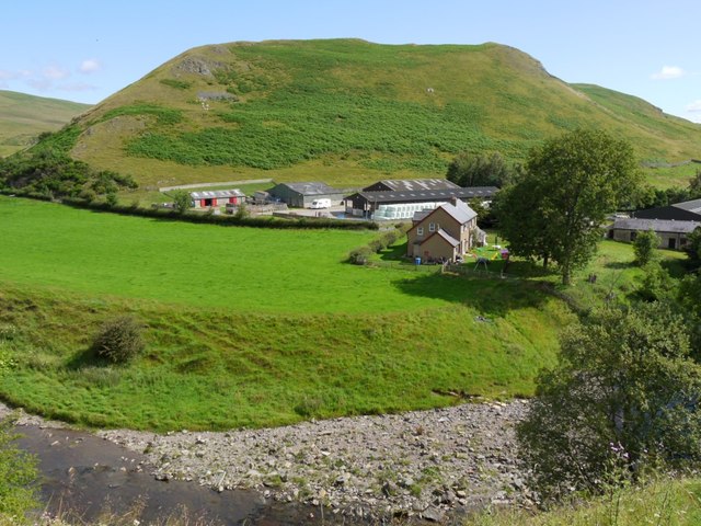
"...The monument includes the remains of a dispersed settlement contained within two separate areas of protection. The settlement extends from higher gently sloping ground to the level floodplain on the right bank of the River Coquet. The most southerly part of the settlement, which is situated furthest from the river on the highest ground, is contained within the first area. This part of the settlement includes the remains of a rectangular long house measuring 15m by 5m, sub-divided by a low stone wall into two rooms and the adjacent square foundations of a second building ..." -
Owner
Historic England -
Source
Local (Co-Curate) -
License
What does this mean? Unknown license check permission to reuse
-
Further information
Link: https://historicengland.org.uk/listing/the-list/list-entry/1016471
Resource type: Text/Website
Added by: Simon Cotterill
Last modified: 6 years, 6 months ago
Viewed: 744 times
Picture Taken: Unknown -
Co-Curate tags


