Fencehouses level crossing

-
Description
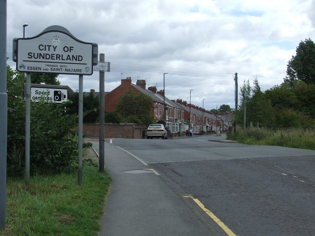
"The change in the road surface marks the site of a railway level crossing. The railway through Fencehouses fell into disuse in around 1992. The line is still "mothballed", retained by Network Rail in case there is a need to bring it back into use in future. In many places the track is intact, but it would need to be restored at this point. The railway also marks the boundary between County Durham (this side of the crossing) and Tyne & Wear on the far side." Photo by Malc McDonald, 2011. -
Owner
Malc McDonald -
Source
Geograph (Geograph) -
License
What does this mean? Creative Commons License
-
Further information
Link: http://www.geograph.org.uk/photo/2584811
Resource type: Image
Added by: Simon Cotterill
Last modified: 6 years, 7 months ago
Viewed: 816 times
Picture Taken: 2011-08-29 -
Co-Curate tags


