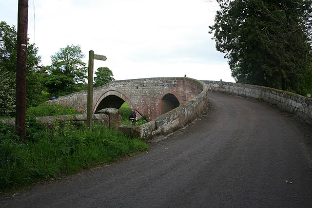
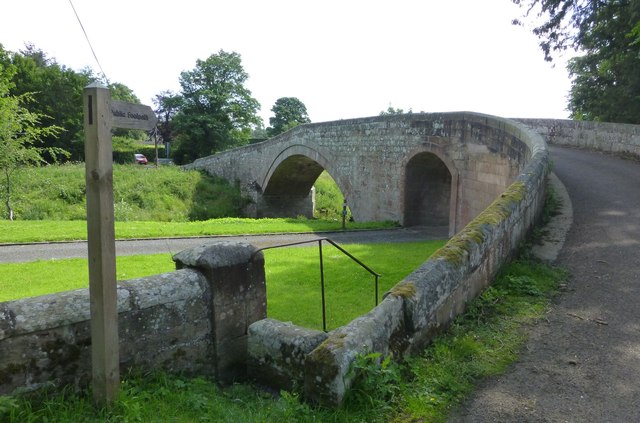
Fowberry Bridge
         
    
        - 
                                Description"Examination of large-scale maps suggests Fowberry Bridge (over the River Till) is exactly on the eastern boundary of this grid square. The Till flows generally northwards from the Cheviots to the Tweed near Coldstream." Photo by Dave Dunford, 2007.
- 
                            OwnerDave Dunford
- 
                            SourceGeograph (Geograph)
- 
                            LicenseWhat does this mean? Creative Commons License  
- 
                            Further informationLink: http://www.geograph.org.uk/photo/462508
 Resource type: Image
 Added by: Simon Cotterill
 Last modified: 6 years, 5 months ago
 Viewed: 471 times
 Picture Taken: 2007-05-23
- 
                            Co-Curate tags


                                    