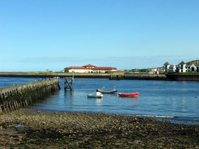
Tyne and Wear HER(2079): North Shields, Whitehill Point Staiths

-
Description
"Historic Ordnance Survey Map evidence shows the location of Clark's Walls End Drop. A coal drop at the southern end of Backworth Wagonway..." -
Owner
SiteLines -
Source
Local (Co-Curate) -
License
What does this mean? Unknown license check permission to reuse
-
Further information
Link: http://twsitelines.info/SMR/2079
Resource type: Text/Website
Added by: Simon Cotterill
Last modified: 6 years, 9 months ago
Viewed: 666 times
Picture Taken: Unknown -
Co-Curate tags


