Topics > Northumberland > Rattenraw
Rattenraw
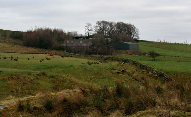
Rattenraw is a farm, located about 2½ miles north-west of Otterburn in Northumberland. It is situated by Rattenraw Burn, shortly before it's confluence with the River Rede. Rattenraw is listed in the 1860 Northumberland Farms Index under Troughend township in the ancient parish of Elsdon. Today, Rattenraw is part of Rochester with Byrness Civil Parish. There are the ruins of a bastle close to the farm. The site of an Iron Age settlement north of the farm, a Romano-British farmstead to the west, and another Romano-British farmstead to the south.


from https://historicengland.org.u…
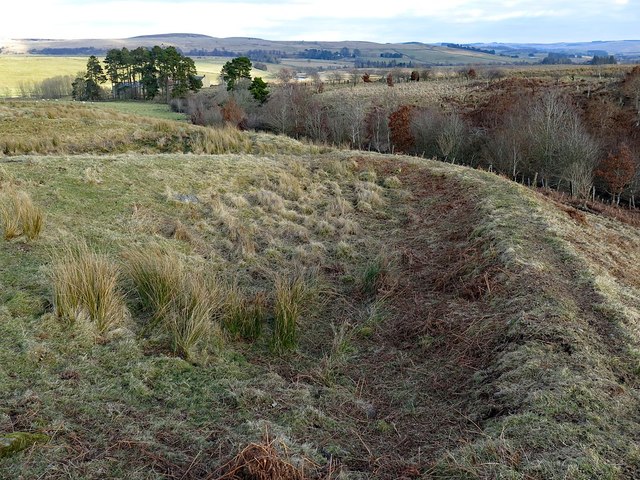
Romano-British farmstead 350m south of Rattenraw Farm - Rochester with Byrness - List Entry
- .....The monument includes the remains of a farmstead of Romano-British date situated on gently sloping east facing moorland. The farmstead, sub- rectangular in shape, measures a maximum of 43m east …
Added by
Simon Cotterill

from https://historicengland.org.u…
Romano-British farmstead 350m south of Rattenraw Farm - Rochester with Byrness - List Entry
- .....The monument includes the remains of a farmstead of Romano-British date situated on gently sloping east facing moorland. The farmstead, sub- rectangular in shape, measures a maximum of 43m east …
Added by
Simon Cotterill