Topics > Cumbria > Rivers in Cumbria > River Bela > Peasey Beck
Peasey Beck
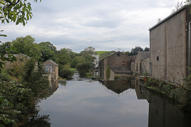
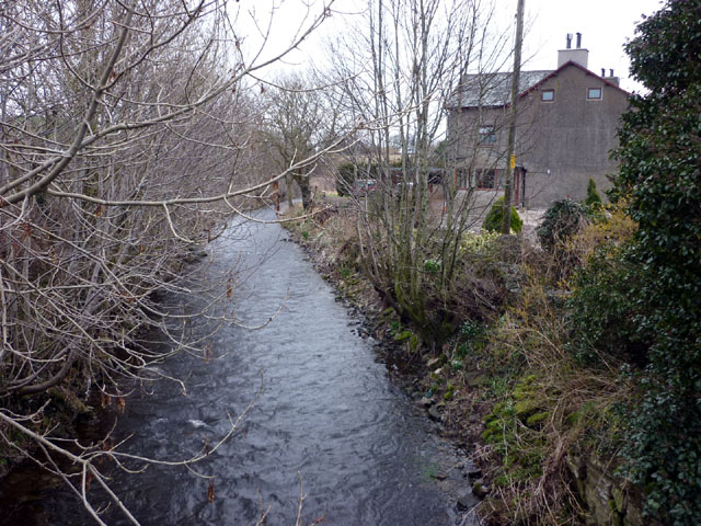
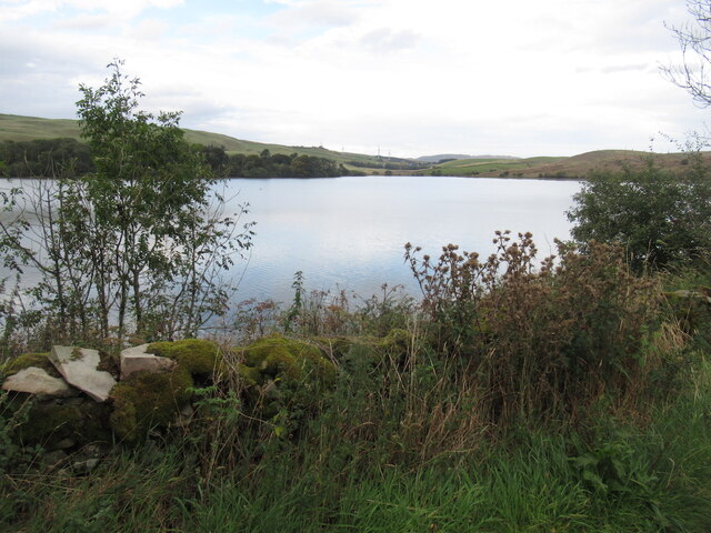
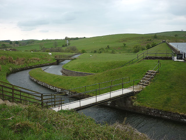
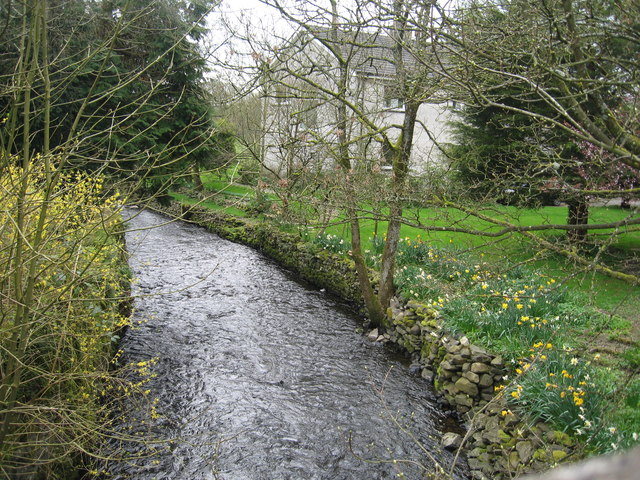
Peasey Beck is a river in Cumbria, which rises on Lambrigg Fell as Sparishaw Beck. Peasey Beck flows through Killington Reservoir and merges with Stainton Beck to form the River Bela near Overthwaite. Peasey Beck has a catchment area of 40.1 km2 and is 19.6 km long.[1] Killington Reservoir (aka Bendrigg Reservoir) was built in 1819 to control the water supply for the Lancaster Canal. At Crooklands there is an aqueduct carrying the canal over Peasey Beck. Also, at Crooklands, is a channel from Peasey Beck feeding the canal. Further downstream, Lupton Beck joins Peasey Beck, shortly before the confluence of Peasey and Stainton Becks.


Co-Curate Page
Crooklands, Cumbria
- Overview Map Street View Crooklands is a hamlet in Cumbria, located on the A65 road, about 5 miles south of Kendal and 1 mile south of the village of Endmoor. …
Co-Curate Page
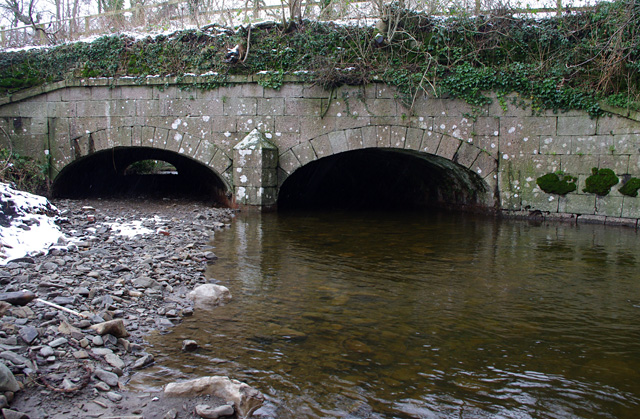
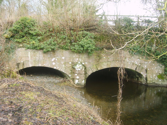
Crooklands Aqueduct, Lancaster Canal
- Overview Map Street View At the south of Crooklands, by Milton Lane, is an aqueduct carrying the Lancaster Canal over Peasey Beck. The aqueduct, with two shallow elliptical arches, was …
Co-Curate Page
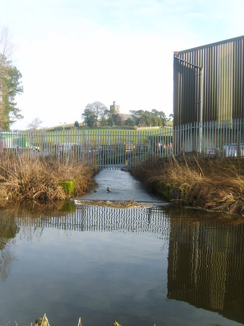
Lancaster Canal Feeder from Peasey Beck
- Near Crooklands, is a 'feeder' from Peasey Beck, supplying water to the Lancaster Canal. This feeder is north of where the canal was blocked to build the M6, the water …

Co-Curate Page
Crooklands, Cumbria
- Overview Map Street View Crooklands is a hamlet in Cumbria, located on the A65 road, about 5 miles south of Kendal and 1 mile south of the village of Endmoor. …
Co-Curate Page
Crooklands Aqueduct, Lancaster Canal
- Overview Map Street View At the south of Crooklands, by Milton Lane, is an aqueduct carrying the Lancaster Canal over Peasey Beck. The aqueduct, with two shallow elliptical arches, was …
Co-Curate Page
Lancaster Canal Feeder from Peasey Beck
- Near Crooklands, is a 'feeder' from Peasey Beck, supplying water to the Lancaster Canal. This feeder is north of where the canal was blocked to build the M6, the water …