Topics > Geography > Rivers > River South Tyne > Park Burn (trib. River South Tyne)
Park Burn (trib. River South Tyne)
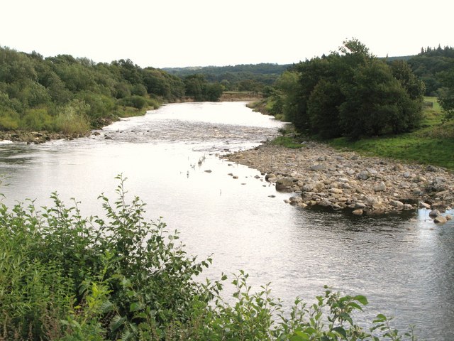
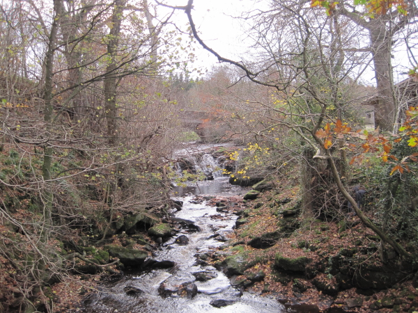
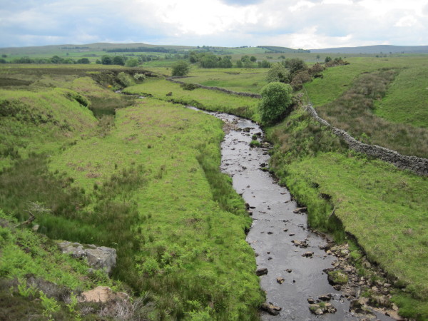
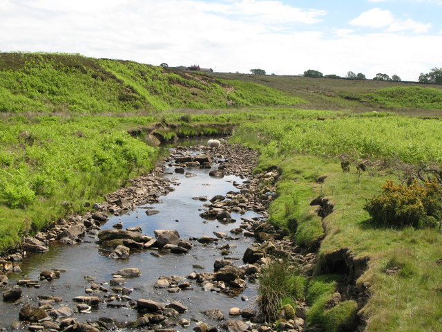
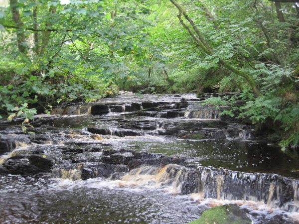
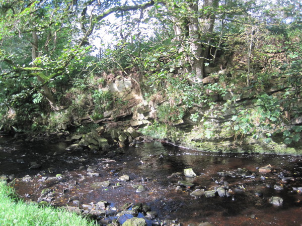
Park Burn is a tributary of the River South Tyne. The Burn joins the South Tyne at Park Burnfoot, a short distance north of Park Village. Park Burn is 9.9 km long and has a catchment area of 27.8 km2.[1]
Co-Curate Page
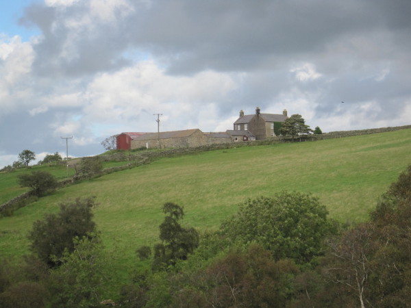
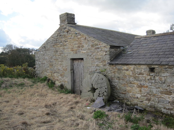
Low Ramshaw
- Overview Map Low Ramshaw is a farm/hamlet in Northumberland, located just over 2 miles south of Haltwhistle. It is in a remote location below Ramshaw Fell on Plenmeller Common. Historically …


Co-Curate Page
Low Ramshaw
- Overview Map Low Ramshaw is a farm/hamlet in Northumberland, located just over 2 miles south of Haltwhistle. It is in a remote location below Ramshaw Fell on Plenmeller Common. Historically …