Topics > Civil Parishes in Cumbria > Papcastle Civil Parish
Papcastle Civil Parish
Area: 4.5 km²
Population:
378 (2021 Census)
385 (2011 Census)
406 (2001 Census)
Co-Curate Page
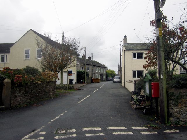
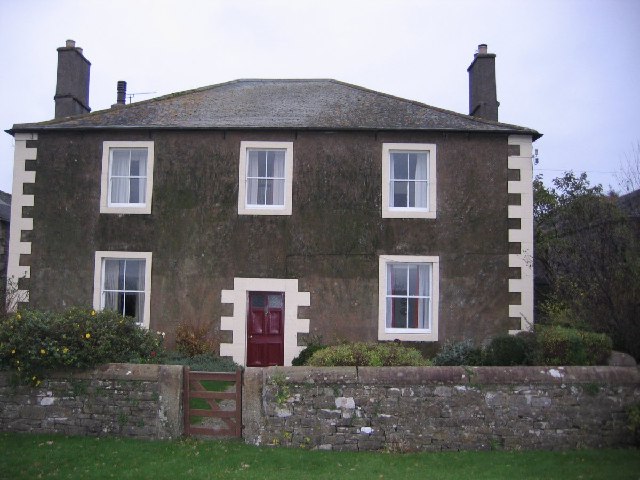
Papcastle
- Overview About Papcastle Map Street View PAPCASTLE, with Goat, a township, in the parish of Bridekirk, union of Cockermouth, Allerdale ward below Derwent, W. division of Cumberland, 1 mile (N.W.) …
Co-Curate Page
Dovenby Craggs
- Overview Map Street View Dovenby Craggs is a farm in Cumbria located about 1½ mile north-west of Cockermouth and about ½ mile south-east of the village of Dovenby. The farm …

Co-Curate Page
Papcastle
- Overview About Papcastle Map Street View PAPCASTLE, with Goat, a township, in the parish of Bridekirk, union of Cockermouth, Allerdale ward below Derwent, W. division of Cumberland, 1 mile (N.W.) …

")
")

")
