Topics > Northumberland > Morralee, Northumberland
Morralee, Northumberland
Morralee is located on the south banks of the River South Tyne, a short distance east of the river's confluence with the River Allen, and about 2 miles west of Haydon Bridge. Morralee was a manor and village in Medieval times[1], it now consists of West Morralee Farm, East Morralee Farm and two cottages. In the past a ford over the River South Tyne was documented at Morralee. Morralee Tarn, a large man-made pond in Morralee Woods, was associated with the Allen Banks Estate.
West Morralee Farm
West Morralee Farm
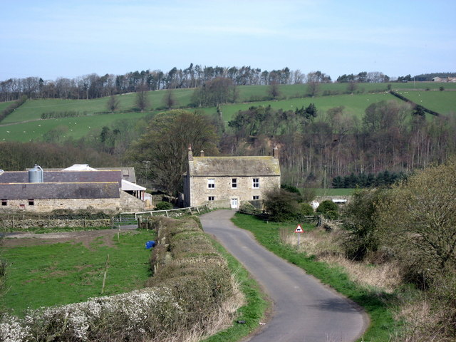
from Geograph (geograph)
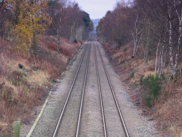
The Newcastle to Carlisle railway line at West Morralee (looking east)
Pinned by Simon Cotterill

from https://keystothepast.info/se…
Morralee medieval village (Haydon)
- Morralee was a manor in the lordship of Langley in medieval times. The size of the medieval settlement is not known but it seems to have been a small as …
Added by
Simon Cotterill

from Geograph (geograph)
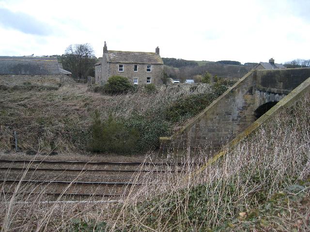
The Newcastle to Carlisle railway line at West Morralee (looking east)
Pinned by Simon Cotterill
from https://keystothepast.info/se…
Morralee medieval village (Haydon)
- Morralee was a manor in the lordship of Langley in medieval times. The size of the medieval settlement is not known but it seems to have been a small as …
Added by
Simon Cotterill


")