Topics > Geography > Rivers > River Allen > River West Allen > Mohope Burn

from Geograph (geograph)
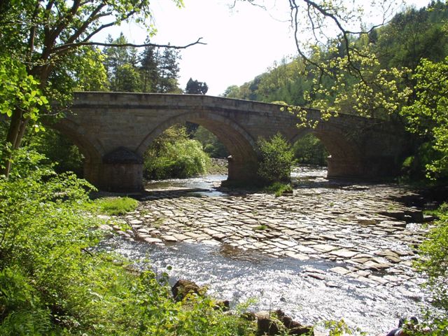
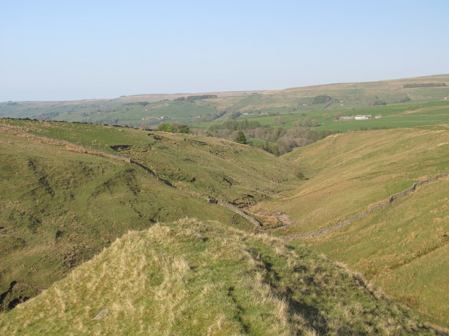
The confluence of the River West Allen and Mohope Burn (2)
Pinned by Simon Cotterill


from Geograph (geograph)
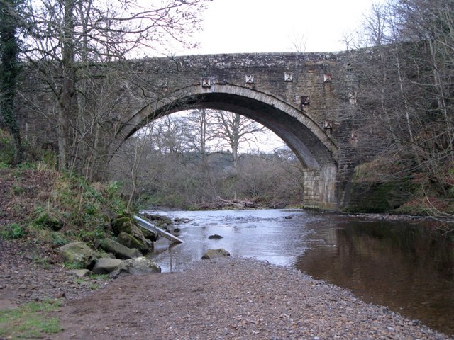
The confluence of Mohope Burn and Wellhope Burn (2)
Pinned by Simon Cotterill
from Geograph (geograph)
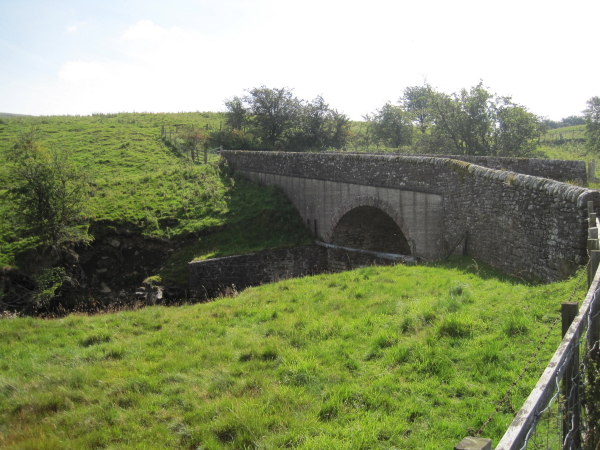
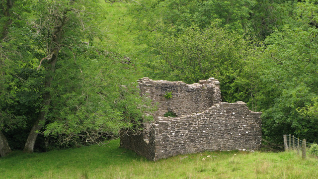
Ruined building at confluence of Mohope and Wellhope Burns
Pinned by Simon Cotterill
Co-Curate Page
Mohope
- Takes its name from the area around Mohope Burn in the West Allen district in Northumberland.

Co-Curate Page
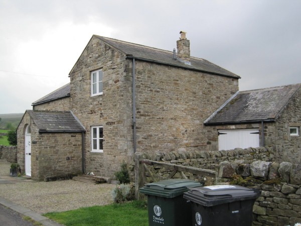
Nether House, West Allen
- Overview Map Nether House is a hamlet in West Allen Civil Parish in Northumberland, located about 1½ miles south-west of Ninebanks. It is situated by Mohope Burn, a little downstream …

Co-Curate Page
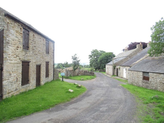
Hesleywell, West Allen
- Overview Map Hesleywell is a Farm / hamlet, located about 1½ miles south-west of Ninebanks in West Allen, Northumberland. It is situated to the east of Mohope Burn.

from https://environment.data.gov.…
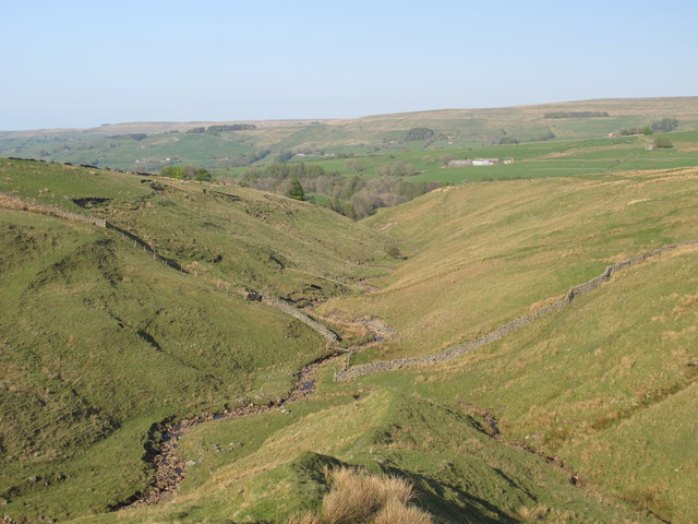
Wellhope Burn Catchment (Trib of West Allen)
Added by
Simon Cotterill

from Geograph (geograph)
The confluence of the River West Allen and Mohope Burn (2)
Pinned by Simon Cotterill
from Geograph (geograph)
The confluence of Mohope Burn and Wellhope Burn (2)
Pinned by Simon Cotterill
from Geograph (geograph)
Ruined building at confluence of Mohope and Wellhope Burns
Pinned by Simon Cotterill
Co-Curate Page
Mohope
- Takes its name from the area around Mohope Burn in the West Allen district in Northumberland.
Co-Curate Page
Nether House, West Allen
- Overview Map Nether House is a hamlet in West Allen Civil Parish in Northumberland, located about 1½ miles south-west of Ninebanks. It is situated by Mohope Burn, a little downstream …
Co-Curate Page
Hesleywell, West Allen
- Overview Map Hesleywell is a Farm / hamlet, located about 1½ miles south-west of Ninebanks in West Allen, Northumberland. It is situated to the east of Mohope Burn.
from https://environment.data.gov.…
Wellhope Burn Catchment (Trib of West Allen)
Added by
Simon Cotterill