Topics > Heritage Sites > Hadrian's Wall > Wall Mile 35 > Milecastle 35 (Sewingshields), Hadrian's Wall
Milecastle 35 (Sewingshields), Hadrian's Wall
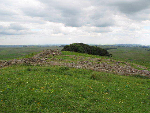
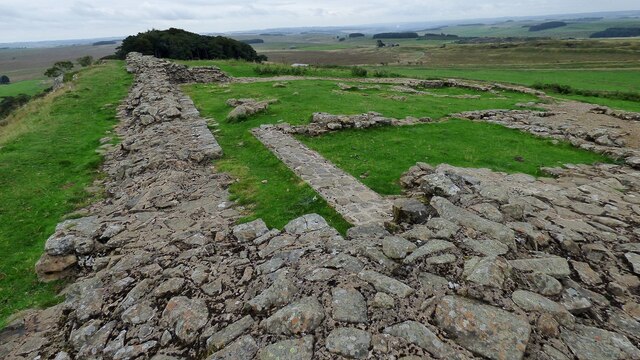
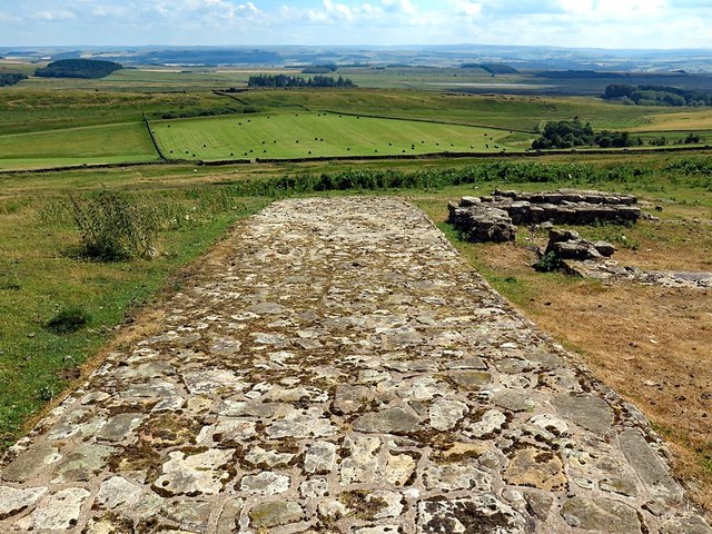
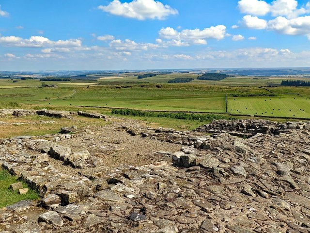
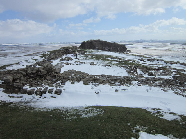
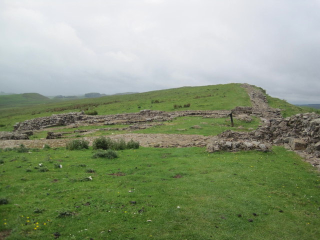
There are thought to have been 80 milecastles on Hadrian’s Wall, located every Roman mile (1,000 paces) along the Wall, with two turrets (observation towers) spaced every third of a mile between them. The Milecastles were rectangular forts manned by small garrisons (probably 10-30 soldiers). The milecastles significance was much more than just their role in defending the Roman frontier. The milecastles had gateways in the north and south walls, often with towers on the north gate. They controlled passage through the Wall, supporting the checking of movement and levying taxes (customs) on goods and people. The milecastles also provided a visible symbol of Roman authority and imperial control. After Hadrian’s Wall was initially built (AD 122-8), larger forts (such as Housesteads) were added to the wall, providing bigger bases for fighting units, suggesting a shift in Roman strategy. In the 1930s a numbering system was devised, with the Milecastles numbered east to west.


from https://www.english-heritage.…
Sewingshields Wall - Hadrian's Wall
- Visitor information and section on history. "..Sewingshields is near the eastern end of the spectacular central sector of Hadrian’s Wall, where it was built along the crest of a high …
Added by
Simon Cotterill

from Flickr (flickr)
Wall Mile 35 - Milecastle 35 (Sewingshields), Hadrian's Wall
Pinned by Simon Cotterill

from Flickr (flickr)
Wall Mile 35 - Milecastle 35 (Sewingshields), Hadrian's Wall
Pinned by Simon Cotterill

from Flickr (flickr)
Wall Mile 35 - Milecastle 35 (Sewingshields), Hadrian's Wall
Pinned by Simon Cotterill

from Flickr (flickr)
Wall Mile 35 - Milecastle 35 (Sewingshields), Hadrian's Wall
Pinned by Simon Cotterill

from Flickr (flickr)
Wall Mile 35 - Milecastle 35 (Sewingshields), Hadrian's Wall
Pinned by Simon Cotterill

from Flickr (flickr)
Wall Mile 35 - Milecastle 35 (Sewingshields), Hadrian's Wall
Pinned by Simon Cotterill

from https://historicengland.org.u…
HADRIANS WALL, MILCASTLES AND TURRETS - List Entry
- "Hadrian's wall; milecastles 30, 31, 34 and 35; turrets 29B, 30A, 30B, 33B, 34A and 35A. AD 122, reconstructed AD 205. Rubble core with dressed stone faces. Course of wall …
Added by
Simon Cotterill

from https://www.english-heritage.…
Sewingshields Wall - Hadrian's Wall
- Visitor information and section on history. "..Sewingshields is near the eastern end of the spectacular central sector of Hadrian’s Wall, where it was built along the crest of a high …
Added by
Simon Cotterill
from Flickr (flickr)
Wall Mile 35 - Milecastle 35 (Sewingshields), Hadrian's Wall
Pinned by Simon Cotterill
from Flickr (flickr)
Wall Mile 35 - Milecastle 35 (Sewingshields), Hadrian's Wall
Pinned by Simon Cotterill
from Flickr (flickr)
Wall Mile 35 - Milecastle 35 (Sewingshields), Hadrian's Wall
Pinned by Simon Cotterill
from Flickr (flickr)
Wall Mile 35 - Milecastle 35 (Sewingshields), Hadrian's Wall
Pinned by Simon Cotterill
from Flickr (flickr)
Wall Mile 35 - Milecastle 35 (Sewingshields), Hadrian's Wall
Pinned by Simon Cotterill
from Flickr (flickr)
Wall Mile 35 - Milecastle 35 (Sewingshields), Hadrian's Wall
Pinned by Simon Cotterill
from https://historicengland.org.u…
HADRIANS WALL, MILCASTLES AND TURRETS - List Entry
- "Hadrian's wall; milecastles 30, 31, 34 and 35; turrets 29B, 30A, 30B, 33B, 34A and 35A. AD 122, reconstructed AD 205. Rubble core with dressed stone faces. Course of wall …
Added by
Simon Cotterill


