Topics > Northumberland > Marlish, Northumberland
Marlish, Northumberland
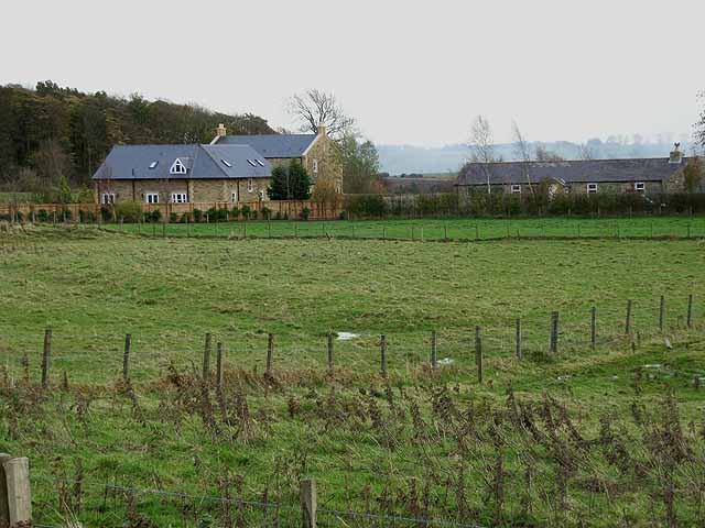
East and West Marlish.

from https://keystothepast.info/se…
Enclosure south-east of East Marlish (Hartburn)
- "A rectilinear enclosure is visible as an earthwork on lidar imagery. It measures about 55m by 45m. It is overlain by ridge and furrow cultivation earthworks and later field boundaries...."
Added by
Simon Cotterill

from https://keystothepast.info/se…
Bell pits and fields at West Marlish Farm (Hartburn)
- "Near Cooper's Hill Plantation is an area of medieval ridge and furrow fields. On top of this are about six bell pits, probably post-medieval in date. All the remains survive …
Added by
Simon Cotterill

from https://keystothepast.info/se…
West Marlish Roman temporary camp (Wallington Demesne)
- "Cropmarks of the south-west quadrant of a probable Roman temporary camp were recorded by aerial photography in July 1994. The site lies close to the Devil's Causeway Roman road and …
Added by
Simon Cotterill

from https://historicengland.org.u…
FARMBUILDINGS TO WEST OF MARLISH FARMHOUSE - Hartburn - List Entry
- "Planned farmbuildings, c.1800 with early C19 gingang. Squared tooled stone, and squared tooled-and-margined stone in gingang; slate roofs. Ranges on 3 sides of yard open to the south, with gingang …
Added by
Simon Cotterill


from https://keystothepast.info/se…
Enclosure south-east of East Marlish (Hartburn)
- "A rectilinear enclosure is visible as an earthwork on lidar imagery. It measures about 55m by 45m. It is overlain by ridge and furrow cultivation earthworks and later field boundaries...."
Added by
Simon Cotterill

from https://keystothepast.info/se…
Bell pits and fields at West Marlish Farm (Hartburn)
- "Near Cooper's Hill Plantation is an area of medieval ridge and furrow fields. On top of this are about six bell pits, probably post-medieval in date. All the remains survive …
Added by
Simon Cotterill

from https://keystothepast.info/se…
West Marlish Roman temporary camp (Wallington Demesne)
- "Cropmarks of the south-west quadrant of a probable Roman temporary camp were recorded by aerial photography in July 1994. The site lies close to the Devil's Causeway Roman road and …
Added by
Simon Cotterill

from https://historicengland.org.u…
FARMBUILDINGS TO WEST OF MARLISH FARMHOUSE - Hartburn - List Entry
- "Planned farmbuildings, c.1800 with early C19 gingang. Squared tooled stone, and squared tooled-and-margined stone in gingang; slate roofs. Ranges on 3 sides of yard open to the south, with gingang …
Added by
Simon Cotterill


