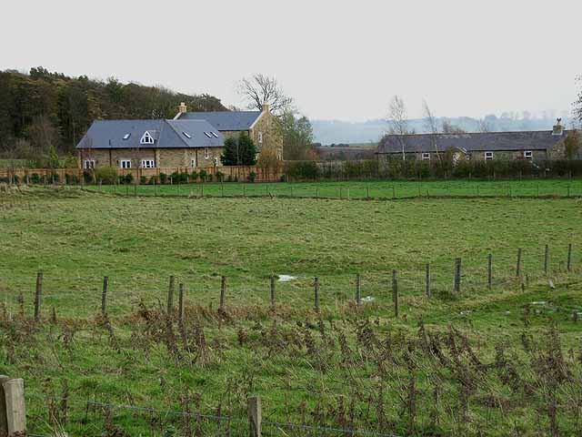
West Marlish Roman temporary camp (Wallington Demesne)

-
Description
"Cropmarks of the south-west quadrant of a probable Roman temporary camp were recorded by aerial photography in July 1994. The site lies close to the Devil's Causeway Roman road and lies on a gentle south-facing slope looking across the floodplain of the river Wansbeck and beyond. The cropmarks comprised two straight lengths of ditch representing parts of the south and west sides of the camp. The south ditch could be traced for about 425m...." -
Owner
Keys to the Past (Durham & Northumbria County Councils) -
Source
Local (Co-Curate) -
License
What does this mean? Unknown license check permission to reuse
-
Further information
Link: https://keystothepast.info/search-records/results-of-search/results-of-search-2/site-details/?PRN=N23354
Resource type: Text/Website
Added by: Simon Cotterill
Last modified: 2 years, 10 months ago
Viewed: 371 times
Picture Taken: Unknown -
Co-Curate tags


