Topics > Northumberland > Stannington > Map and Aerial View
Map and Aerial View
Google Map: drag to move the view, zoom in and out using the control (lower right-hand corner); switch to map view (lower left-hand control)
Co-Curate Page
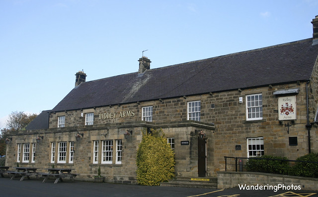
Stannington
- Overview About Stannington Map Street View Timeline Stannington is a village in Northumberland, located about 8 miles north of Newcastle and 4½ miles south of Morpeth. Catraw Burn flows past …


: Newcastle town wall, Bertram Momboucher Tower")


