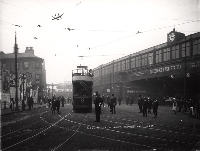
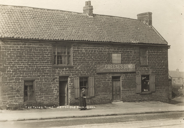
Topics > Tyne and Wear > Gateshead > Sheriff Hill > Map and Aerial View
Map and Aerial View
Google Map: drag to move the view, zoom in and out using the control (lower right-hand corner); switch to map view (lower left-hand control)
Co-Curate Page
Sheriff Hill
- Overview Map Street View Sheriff Hill is a suburb in the Metropolitan Borough of Gateshead, located about 1½ miles south-east from the centre of Gateshead. Sheriff Hill was the site …