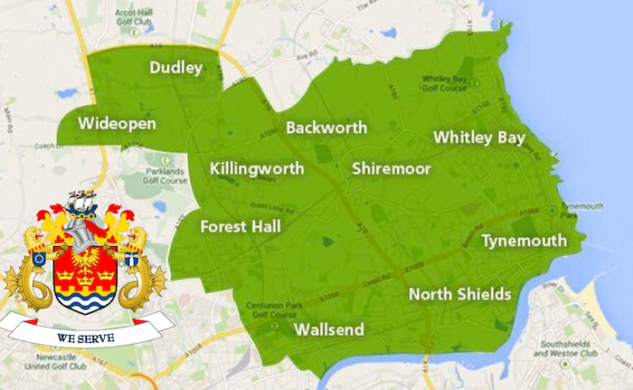
Topics > Tyne and Wear > North Tyneside > Killingworth > Map and Aerial View
Map and Aerial View
Google Map: drag to move the view, zoom in and out using the control (lower right-hand corner); switch to map view (lower left-hand control)

Co-Curate Page
Killingworth
- Overview History Map Street View Killingworth Village Killingworth Colliery Killingworth Waggonway Dial Cottage Killingworth Lake St John's Church Killingworth New Town Killingworth Towers Research Station GS High School Medieval According …


