Topics > Tyne and Wear > Newcastle upon Tyne > Gosforth > Map and Aerial View
Map and Aerial View
Google Map: drag to move the view, zoom in and out using the control (lower right-hand corner); switch to map view (lower left-hand control)
from Newcastle libraries (flickr)
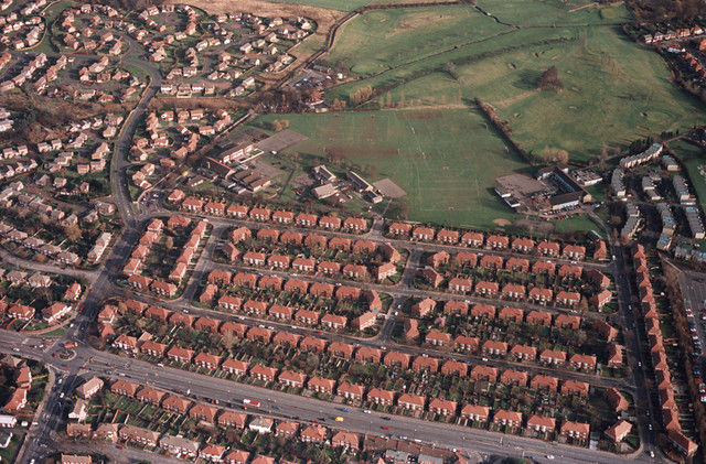
Looking east over St. Oswalds RC Primary School, Hartford Road, Gosforth, no date
Pinned by Simon Cotterill
from Newcastle libraries (flickr)
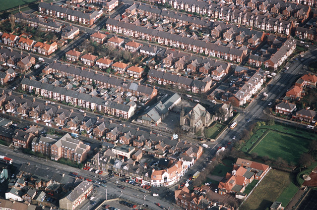
069418:St. Charles R.C. Primary School Rothwell Road Gosforth Unknown 1995
Pinned by Simon Cotterill

from Newcastle libraries (flickr)
Looking east over St. Oswalds RC Primary School, Hartford Road, Gosforth, no date
Pinned by Simon Cotterill
from Newcastle libraries (flickr)
069418:St. Charles R.C. Primary School Rothwell Road Gosforth Unknown 1995
Pinned by Simon Cotterill