Topics > County Durham > Durham (City) > Map and Aerial View
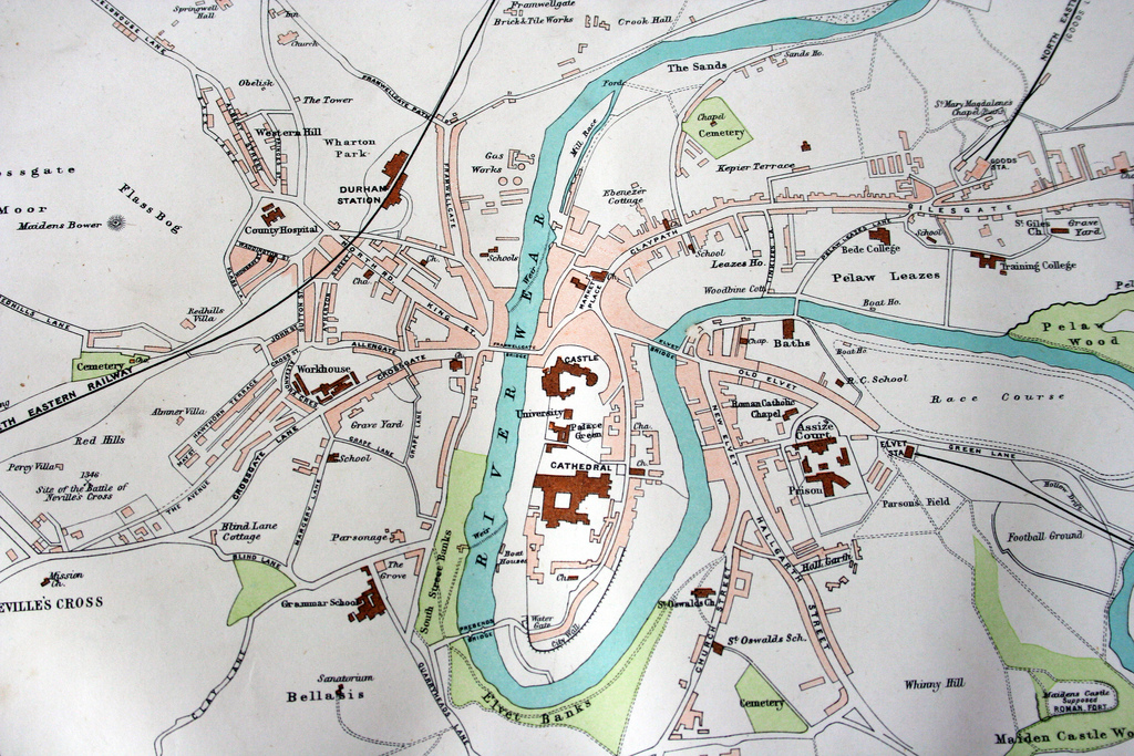
Map and Aerial View


Google Map: drag to move the view, zoom in and out using the control (lower right-hand corner); switch to map view (lower left-hand control)

Durham (City)
from Flickr (flickr)
City of Durham, 1890s

Pinned by Simon Cotterill
from Flickr (flickr)
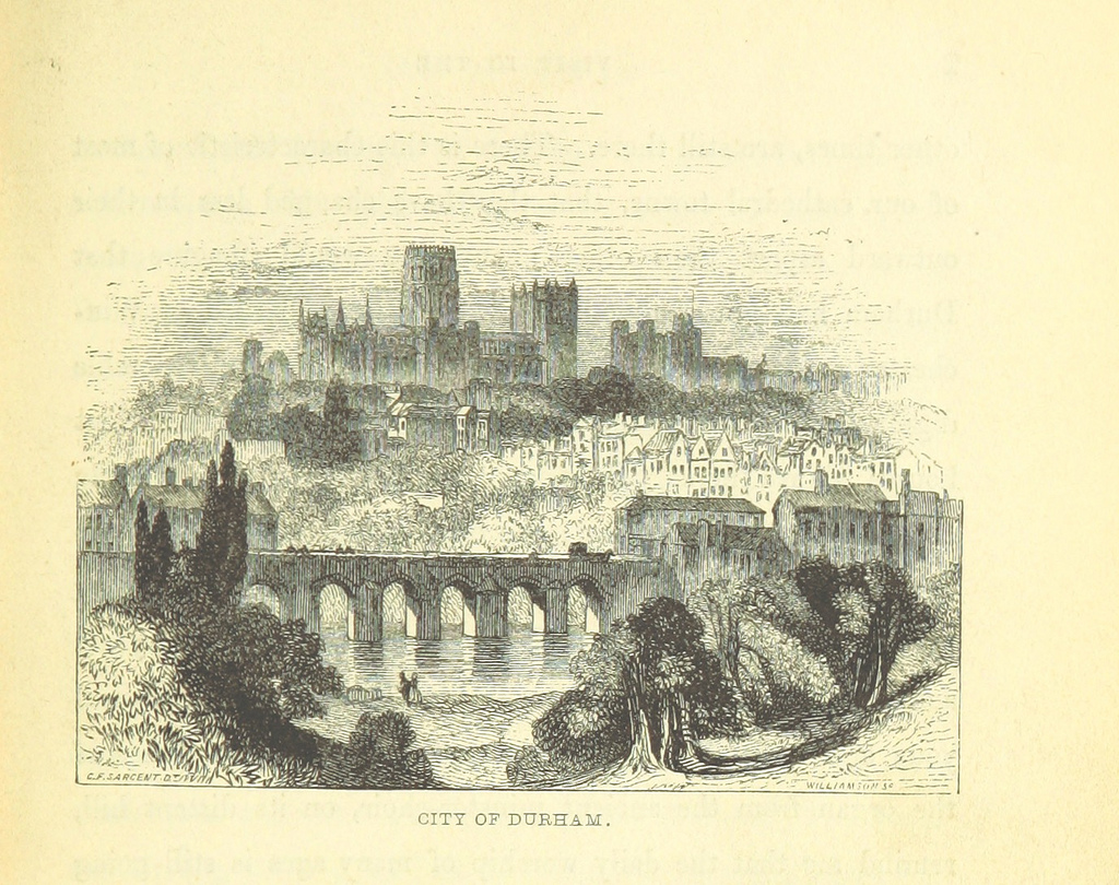
Image taken from page 429 of '[Our own country. Descriptive, historical, pictorial.]'

Pinned by Simon Cotterill

Comments

Add a comment or share a memory.

Login to add a comment. Sign-up if you don't already have an account.


ABOUT US

Co-Curate is a project which brings together online collections, museums, universities, schools and community groups to make and re-make stories and images from North East England and Cumbria. Co-Curate is a trans-disciplinary project that will open up 'official' museum and 'un-officia'l co-created community-based collections and archives through innovative collaborative approaches using social media and open archives/data.

LATEST SHARED RESOURCES