Topics > County Durham > Chester-le-Street > Map and Aerial View

Map and Aerial View


Google Map: drag to move the view, zoom in and out using the control (lower right-hand corner); switch to map view (lower left-hand control)

Chester-le-Street Chester-le-Street
Chester-le-Street
  Co-Curate Page
Chester-le-Street
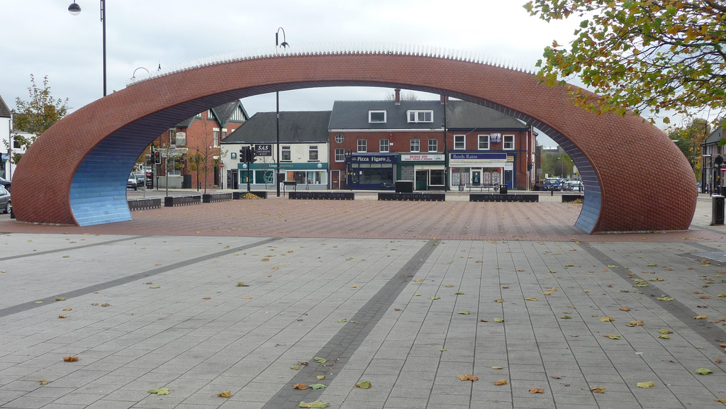
- Overview About Chester-le-Street Map Street View   Chester-le-Street is a town in County Durham, England. Its history goes back to the building of a Roman fort called Concangis. This Roman …

Comments

Add a comment or share a memory.

Login to add a comment. Sign-up if you don't already have an account.


ABOUT US

Co-Curate is a project which brings together online collections, museums, universities, schools and community groups to make and re-make stories and images from North East England and Cumbria. Co-Curate is a trans-disciplinary project that will open up 'official' museum and 'un-officia'l co-created community-based collections and archives through innovative collaborative approaches using social media and open archives/data.

LATEST SHARED RESOURCES