Topics > Northumberland > Branxton > Map and Aerial View
Map and Aerial View
Google Map: drag to move the view, zoom in and out using the control (lower right-hand corner); switch to map view (lower left-hand control)
Co-Curate Page
Branxton
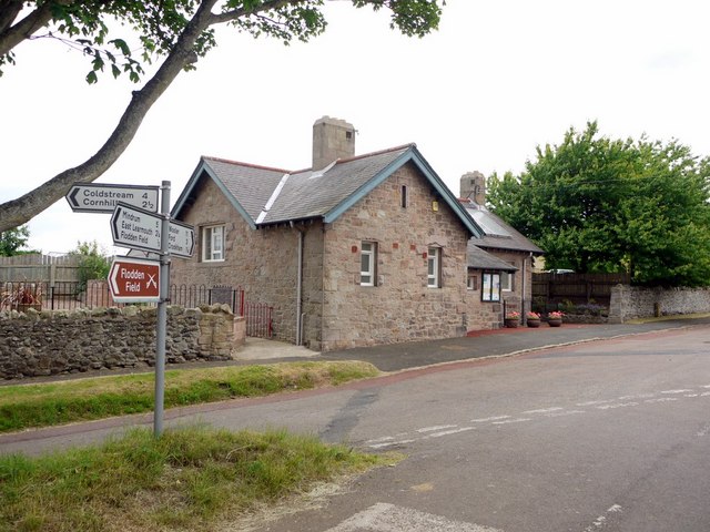
- Overview About Branxton Map Street View Branxton is a village in Northumberland located just 3 miles from the England-Scotland border. The village is very close to the site of the …

Co-Curate Page
Battle of Flodden, 1513
- Overview About the Battle Map of the Battlefield The Battle of Flodden (or Flodden Field) near Branxton was fought between the English and the invading Scottish army on the 9th …

Co-Curate Page
Branxton
- Overview About Branxton Map Street View Branxton is a village in Northumberland located just 3 miles from the England-Scotland border. The village is very close to the site of the …


