Topics > Civil Parishes in Cumbria > Lowther Civil Parish
Lowther Civil Parish
Parish boundaries may have changed - for the latest map see the Parish Council or Westmorland & Furness Council.
About the Parish
| Overview: |
Lowther Civil Parish is located about 3 miles south of Penrith, in Cumbria. The parish' history is associated with the Lowther family estates, including Lowther Castle and it's surrounding parkland. The parish is bounded on the west by the River Lowther and on the east by the River Leith. |
| Settlements: |
Hackthorpe, Lowther (village), Newtown, Melkinthorpe, Whale, Whalemoor. |
| Population: |
415 (2021 Census) 465 (2011 Census) 402 (2001 Census) |
| Area: | 14.9 km² |
| Parish Council: | Lowther Parish Council |
| Unitary Authority: | Westmorland & Furness Council |
| Ceremonial County: | Cumbria |
Historical |
|
| Ancient Townships: |
|
| Ancient Parish: |
Population:
Gazetters:
Ancient parishes refer to the parishes before the split between ecclesiastical (church) and civil parishes in the 19th century. They had a parish church and often were composed of multiple townships and chapelries. In many cases, townships and parishes were originally based on the territory of manors from the feudal system during medieval times. Civil parishes were created following the Poor Law Amendment Act 1866, in which Church of England parishes, extra-parochial areas, townships and chapelries, became "civil parishes" which could set their own poor rate (tax). Then the reforms of Local Government Act 1894 established elected civil parish councils (or parish meetings for parishes with less than 300 residents) and created urban and rural districts. Boundaries of parishes and civil parishes may have changed over time. |
| Ancient District: |
West (ward) |
| Poor Law Union: |
West Ward Poor Law Union, formed in 1836. West Ward Union Workhouse was located on Home Lane in Shap, built in 1877 to house up to 60 inmates. This replaced an earlier workhouse at Eamont Bridge. Under the Poor Law Amendment Act of 1834 parishes were grouped into Unions, each of which had to build a workhouse if they did not already have one. It ended the old system of locally provided poor relief which had come under strain as numbers out of work grew, following increasing mechanisation of agriculture and the economic downturn after the Napoleonic Wars, along with changing social attitudes. The workhouse provided those unable to support themselves financially with accommodation and work. Inmates were generally segregated into men, women, boys and girls. The workhouse system was abolished by the Local Government Act 1929, but many workhouses lived on as ‘Public Assistance Institutions’ until the National Assistance Act 1948. |
| County: |
Westmorland, until 1974, then: Cumbria, which was created on the 1st of April 1974, following the Local Government Act 1972. The new county absorbed Cumberland and Westmorland, and added some parts of Lancashire and the West Riding of Yorkshire. Cumbria County Council was abolished in 2023 and replaced by 2 new Unitary authorities. Cumbria remains a ceremonial county; retaining ceremonial boundary and the roles and responsibilities of the Lord Lieutenant and High Sheriff of Cumbria - based on 'The Cumbria (Structural Changes) Order 2022'. |
|
District Council: |
West Ward Rural District (1905 - 1935) North Westmorland Rural District (1935 - 1974). This absorbed Shap UD and West Ward RD. Eden District (1974 - 2023) Eden and the 5 other district councils of Cumbria, along with the county council, were abolished as part of local government reorganisation in 2023; and replaced by two unitary authorities on 1st April 2023. |
|
Unitary Authority: |
Westmorland & Furness Council was created on the 1st April 2023. The 'new' Westmorland & Furness unitary authority area includes the historic county of Westmorland, along with parts of historic Cumberland, including Penrith and it's surrounding area, and also parts of historic Yorkshire and Lancashire. |
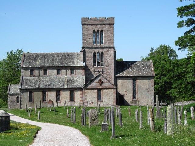
See also: ![]() Historic Buildings and Monuments in Lowther Civil Parish. Note: listed buildings are generally the responsibility of the county council / district council, rather than the parish council.
Historic Buildings and Monuments in Lowther Civil Parish. Note: listed buildings are generally the responsibility of the county council / district council, rather than the parish council.
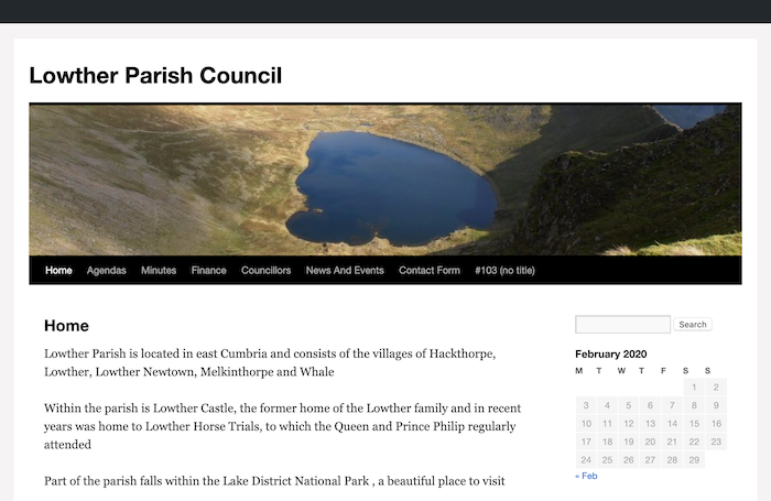
from https://lowtherparishcouncil.…
Lowther Parish Council
- 'Lowther Parish is located in east Cumbria and consists of the villages of Hackthorpe, Lowther, Lowther Newtown, Melkinthorpe and Whale
Within the parish is Lowther Castle, the former home of …
Added by
Simon Cotterill
Co-Curate Page
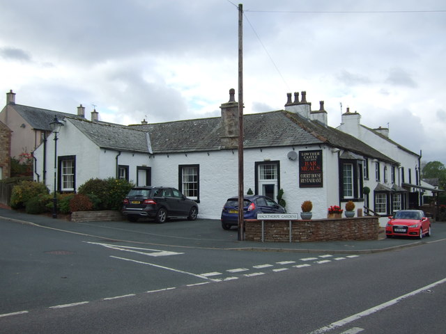
Hackthorpe
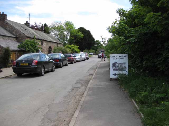
- Overview Map Street View Hackthorpe is a village in the Eden district of Cumbria, adjacent to the village of Lowther and located about 4 miles south-east of Penrith. Hackthorpe is …
Co-Curate Page
Lowther
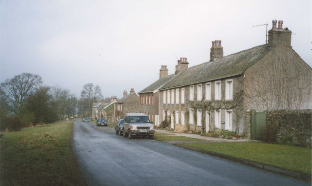
- Overview About Lowther Map Street View Lowther is a civil parish in Eden District, Cumbria. Within the parish are the settlements of Lowther Village, Newtown or Lowther Newtown, Hackthorpe, …
Co-Curate Page
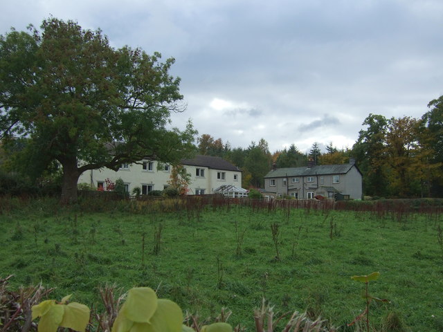
Melkinthorpe
- Overview About Melkinthorpe Map Street View MELKINTHORPE, a township, in the parish of Lowther, West ward and union, county of Westmorland; containing 99 inhabitants. Extract from: A Topographical Dictionary of …

Co-Curate Page
Whale, Cumbria
- Overview Map Street View Whale is a hamlet, located about 5 miles south of Penrith. It is situated by Whale Beck, close to it's confluence with the River Lowther. Whale …
Co-Curate Page
Whalemoor
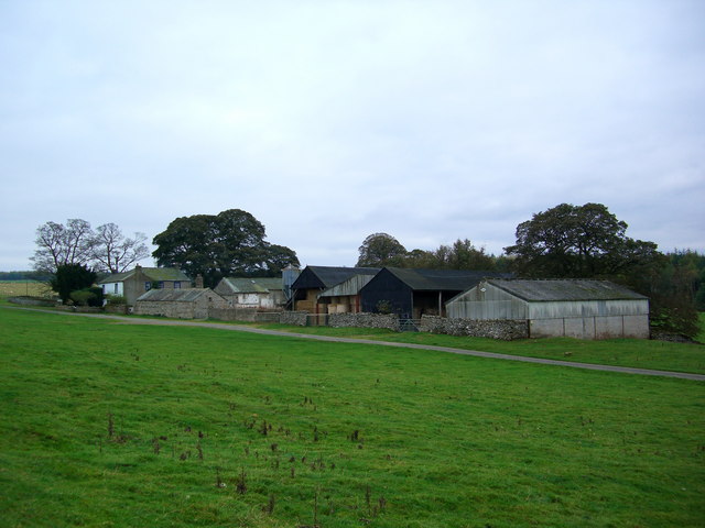
- Overview Map Whalemoor (aka Whale Moor) and Whalemoor Head are farms, located about 5½ miles south of Penrith and ¾mile south-east of the hamet of Whale in Cumbria. OS maps …

from https://lowtherparishcouncil.…
Lowther Parish Council
- 'Lowther Parish is located in east Cumbria and consists of the villages of Hackthorpe, Lowther, Lowther Newtown, Melkinthorpe and Whale
Within the parish is Lowther Castle, the former home of …
Added by
Simon Cotterill
Co-Curate Page
Hackthorpe
- Overview Map Street View Hackthorpe is a village in the Eden district of Cumbria, adjacent to the village of Lowther and located about 4 miles south-east of Penrith. Hackthorpe is …
Co-Curate Page
Lowther
- Overview About Lowther Map Street View Lowther is a civil parish in Eden District, Cumbria. Within the parish are the settlements of Lowther Village, Newtown or Lowther Newtown, Hackthorpe, …
Co-Curate Page
Melkinthorpe
- Overview About Melkinthorpe Map Street View MELKINTHORPE, a township, in the parish of Lowther, West ward and union, county of Westmorland; containing 99 inhabitants. Extract from: A Topographical Dictionary of …
Co-Curate Page
Whale, Cumbria
- Overview Map Street View Whale is a hamlet, located about 5 miles south of Penrith. It is situated by Whale Beck, close to it's confluence with the River Lowther. Whale …