Topics > Civil Parishes in Cumbria > Loweswater Civil Parish > Loweswater, 1848
Loweswater, 1848
LOWESWATER, a parochial chapelry, in the union of Cockermouth, Allerdale ward above Derwent, W. division of Cumberland, 7 miles (S. by E.) from Cockermouth; containing, with the hamlet of Mockerkin with Sosgill, 436 inhabitants. It comprises by computation 2,480 acres of fair land, of which about 250 are woodland; there are, besides, 3,000 acres of common or waste. The river Cocker runs along the deep and extensive vale here, which is bounded by lofty mountains, and contains the picturesque lake of Loweswater, part of Crummock Lake, and Scale Force; the last, the most stupendous cataract in this celebrated region, falls 156 feet into a great chasm surrounded by rocks overhung with trees. A lead-mine was lately opened. The living is a perpetual curacy; net income, £49; patron, the Earl of Lonsdale. The chapel was erected by subscription, in 1827, on the site of an ancient edifice founded by a prior of St. Bees, to which parish this was formerly a chapelry.
Extract from: A Topographical Dictionary of England comprising the several counties, cities, boroughs, corporate and market towns, parishes, and townships..... 7th Edition, by Samuel Lewis, London, 1848.
Co-Curate Page
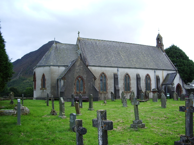
Church of St Bartholomew, Loweswater
- Overview Map Street View St Bartholomew's Church is the parish church in Loweswater. It was built in 1827 on the site of an ancient place of worship which dated back …
Co-Curate Page
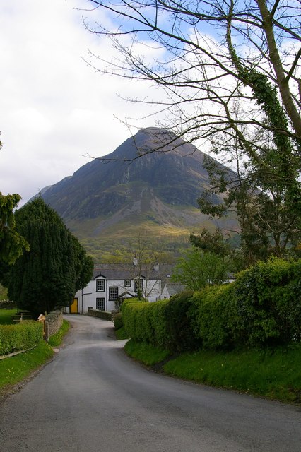
Loweswater (village)
- Overview Map Street View Loweswater is a small settlement and civil parish, located to the east of Loweswater (lake) in the Allerdale district of Cumbria. The 'village' as such, is …
Co-Curate Page
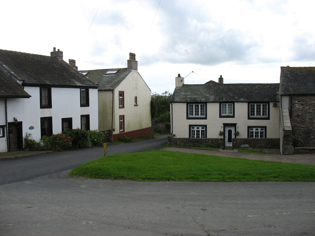
Mockerkin
- Overview About Mockerkin Map Street View Mockerkin is a hamlet in the Allerdale district of Cumbria, located about 5 miles south-west of Cockermouth. Mockerkin forms part of Loweswater Civil Parish. …

Co-Curate Page
Church of St Bartholomew, Loweswater
- Overview Map Street View St Bartholomew's Church is the parish church in Loweswater. It was built in 1827 on the site of an ancient place of worship which dated back …
Co-Curate Page
Loweswater (village)
- Overview Map Street View Loweswater is a small settlement and civil parish, located to the east of Loweswater (lake) in the Allerdale district of Cumbria. The 'village' as such, is …


