Topics > Northumberland > Low Middleton, Northumberland
Low Middleton, Northumberland
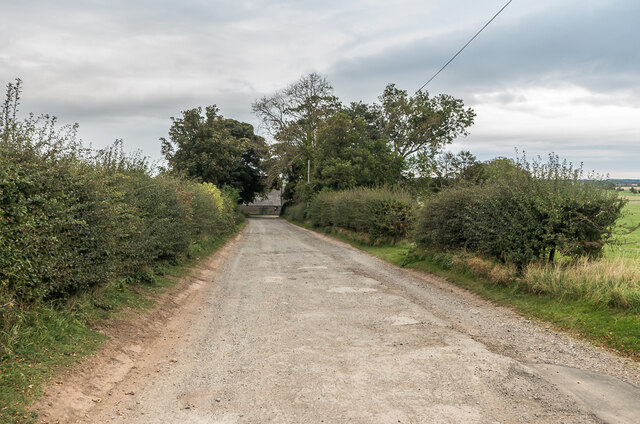
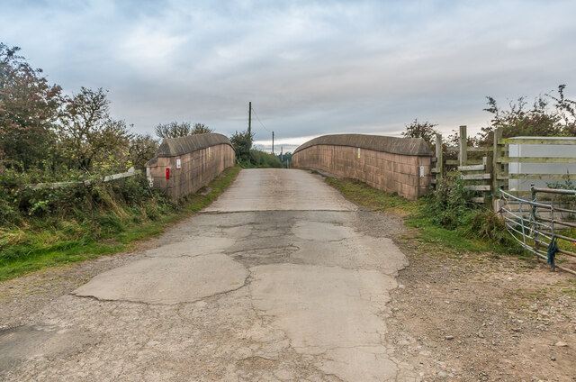
Low Middleton is a hamlet in Northumberland, located just over a mile north of Belford. It lies to the east of the A1 road and the East Coast Mainline railway, about ½ mile north-east of Middleton. The present Low Middleton Farm dates from the mid 19th century, but there is evidence of medieval ridge and furrow cultivation here. Low Middleton forms part of Belford with Middleton Civil Parish.


from https://keystothepast.info/se…
Ridge and furrow ploughmarks at Low Middleton (Belford with Middleton)
- "Medieval farmers ploughed an area at Low Middleton, leaving earthworks, which archaeologists call ridge and furrow. These can be seen on an aerial photograph...."
Added by
Pat Thomson
from https://keystothepast.info/se…
Low Middleton Farm (Belford with Middleton)
- "A mid 19th century water-powered farmstead built in 1855-1865, with minor additions in the late 19th century...."
Added by
Pat Thomson

from https://keystothepast.info/se…
Ridge and furrow ploughmarks at Low Middleton (Belford with Middleton)
- "Medieval farmers ploughed an area at Low Middleton, leaving earthworks, which archaeologists call ridge and furrow. These can be seen on an aerial photograph...."
Added by
Pat Thomson
from https://keystothepast.info/se…
Low Middleton Farm (Belford with Middleton)
- "A mid 19th century water-powered farmstead built in 1855-1865, with minor additions in the late 19th century...."
Added by
Pat Thomson


