Topics > Tees Valley > Civil Parishes in Tees Valley > Lockwood Civil Parish
Lockwood Civil Parish
Area: 39.6 km²
Population:
3,451 (2021 Census)
3,708 (2011 Census)
3,602 (2001 Census)
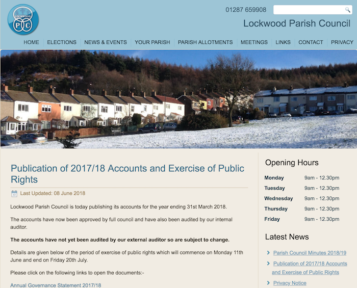
from http://www.lockwoodpc.co.uk/
Lockwood Parish Council
- Official Website of Lockwood Parish Council
Added by
Simon Cotterill
Co-Curate Page
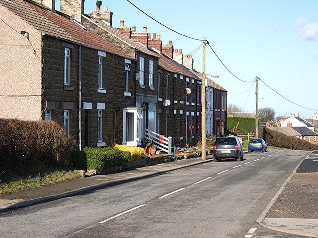
Stanghow
- Overview About Stanhow Map Street View Stanghow is a village in the Borough of Redcar and Cleveland, located about 4 miles east of Guisbrough and half a mile south of …
Co-Curate Page
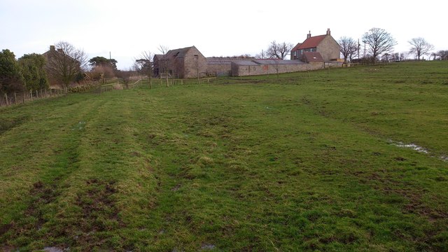
Moorsholm
- Overview Map Street View Moorsholm is a village in Redcar and Cleveland, located about 4 miles south of Saltburn-by-the-Sea and 4 south-east of Guisbrough. Historically, Moorsholm was a township in …
Co-Curate Page
Gerrick, Redcar and Cleveland
- Overview Map Street View Gerrick (aka Girreck) is a distributed hamlet in Redcar and Cleveland, located about 1½ miles south-east of Moorsholm and 3½ miles south of Loftus. Historically, Girreck …

from http://www.lockwoodpc.co.uk/
Lockwood Parish Council
- Official Website of Lockwood Parish Council
Added by
Simon Cotterill
Co-Curate Page
Stanghow
- Overview About Stanhow Map Street View Stanghow is a village in the Borough of Redcar and Cleveland, located about 4 miles east of Guisbrough and half a mile south of …
Co-Curate Page
Moorsholm
- Overview Map Street View Moorsholm is a village in Redcar and Cleveland, located about 4 miles south of Saltburn-by-the-Sea and 4 south-east of Guisbrough. Historically, Moorsholm was a township in …

")

