Topics > Northumberland > Civil Parishes in Northumberland > Rothley Civil Parish > Historic Buildings and Monuments in Rothley with Hollinghill Civil Parish
Historic Buildings and Monuments in Rothley with Hollinghill Civil Parish
Listed buildings and scheduled monuments in Rothley with Hollinghill Civil Parish, Northumberland, from the National Heritage List for England[1]. Use the Search (below) if looking for a specific building / monument.
| Structure | List No. | Grade | Built~ | Notes |
|---|---|---|---|---|
| Bridge Circa 300 Yards North of Donkin Rigg | 1042056 | II | ||
| Bridge over Delf Burn Circa 1 Mile East of Hartington | 1155412 | II | ||
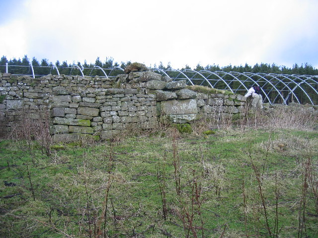
| Codger Fort | 1371062 | II | c.1770 | Folly, on the Wallington Estate. |
| Fairnley Farmhouse | 1371064 | II | ||
| Farmbuildings Circa 10 Yards West of Gallows Hill Farmhouse | 1371063 | II | ||
| Field Wall Circa 10 Yards South of Hartington Hall | 1155407 | II | ||
| Gallows Hill Farmhouse | 1155367 | II | ||
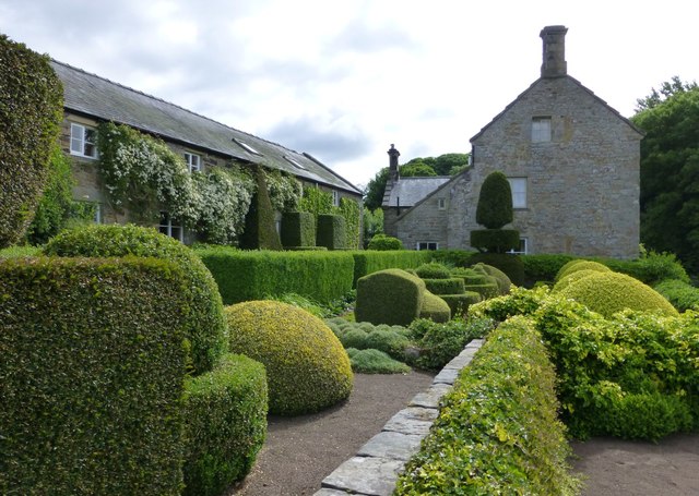
| Hartington Hall | 1042058 | II | C17th | |
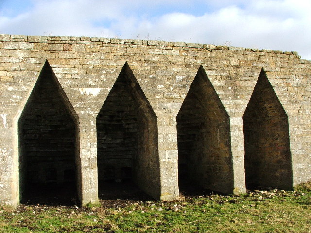
| Limekilns Circa 300 Yards North of High Hartington | 1042059 | II | C19th | |
| Low Fairnley | 1155403 | II | ||
| Milestone at Donkin Rigg Road End | 1155362 | II | ||
| Milestone at Rothley Crossyards | 1042057 | II | ||
| Milestone Circa a Quarter of a Mile South of Hartington Road End | 1303374 | II | ||
| Pigsty and Henhouse Circa 20 Yards North East of Gallows Hill Farmhouse | 1303366 | II | ||
| Rothley Castle | 1371065 | II* | c.1755 | Folly, on the Wallington Estate. |
| Rothley Park Farmhouse | 1155416 | II | ||
| Farmbuildings Circa 40 Yards North of Greenleighton Farmhouse | 1041248 | II | ||
| Milestone Circa 200 Yards South West of Coldside | 1041247 | II | ||
| Milestone Circa a Quarter of a Mile West of Holling Hill | 1155255 | II | ||
| Boundary Stone Circa 200 Yards South South East of Simonside Summit | 1371068 | II | ||
| Birky Burn settlement | 1006485 | n/a | Scheduled Monument | |
| Steng medieval wayside cross | 1008283 | n/a | Scheduled Monument | |
| Romano-British farmstead, 1.3km north east of Harwood Head | 1008837 | n/a | Scheduled Monument | |
| Bastle 80m north east of Fallowlees | 1016712 | n/a | Scheduled Monument | |
| Bastle 150m south west of Morrelhirst | 1018994 | n/a | Scheduled Monument | |
| Manside defended settlement and medieval cross | 1007521 | n/a | Scheduled Monument | |
| Cairn 320m WNW of Old Stell Crag | 1009356 | n/a | Scheduled Monument | |
| Lordenshaw multivallate hillfort, Romano-British settlements, field system, cairnfield, cross dyke, round cairn cemetery, rock art and medieval park pale | 1017196 | n/a | Scheduled Monument |
Primary source: the National Heritage List for England - NHLE is the register of nationally protected historic buildings and sites in England, including listed buildings, scheduled monuments, protected wrecks, registered parks and gardens, and battlefields. The list is maintained by Historic England. Check NHLE for updates and new entries.
Secondary sources: British Listed Buildings and Keys to the Past.
Co-Curate Page
Rothley Castle
- Overview About Rothley Castle Map Street View Rothley Castle is a folly on the Wallington Estate, built to resemble a medieval castle, located near Rothley in Northumberland. The castle was …
Co-Curate Page
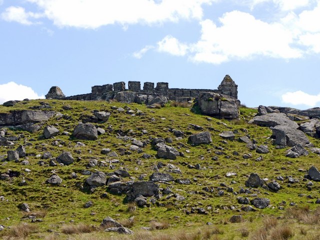
Codger Fort, Rothley
- Overview Map Street View Codger Fort is a folly near Rothley in Northumberland, built in c.1770 by Thomas Wright for Sir Walter Blackett, as part of the Wallington estate. The …


Co-Curate Page
Rothley Castle
- Overview About Rothley Castle Map Street View Rothley Castle is a folly on the Wallington Estate, built to resemble a medieval castle, located near Rothley in Northumberland. The castle was …

