Topics > Geography > Rivers > River Breamish > Linhope Burn
Linhope Burn
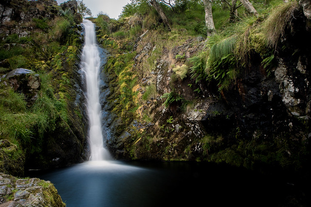
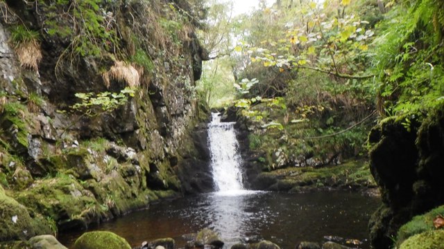
Linhope Burn is a tributary of the River Breamish, in Northumberland. It joins the Breamish at Linhope. Linhope Spout is a large waterfall on the burn. Linhope Burn is just 3.6 km long, but has a wide catchment area of 12.2 km2.[1]


Co-Curate Page
Linhope, Ingram
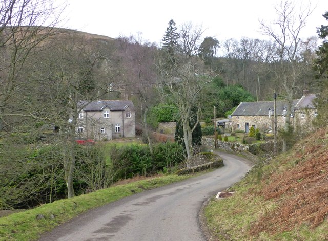
- Overview Map Linhope is a hamlet and farm in Northumberland (named Linop in some historical documents), located about 14 miles west of Alnwick. It is situated by Linhope Burn, close …


Co-Curate Page
Linhope, Ingram
- Overview Map Linhope is a hamlet and farm in Northumberland (named Linop in some historical documents), located about 14 miles west of Alnwick. It is situated by Linhope Burn, close …


