Topics > Northumberland > Civil Parishes in Northumberland > Carham Civil Parish > Learmouth, 1848
Learmouth, 1848
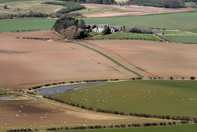
LEARMOUTH, a district, in the parish of Carham, union of Glendale, W. division of Glendale ward, N. division of Northumberland, 2½ miles (S.) from Coldstream. It includes East and West Learmouth, Tithe-Hill, and Hagg, and comprises 2,200 acres, of which the whole is arable, with interspersions of woodland; the surface is undulated, and the soil a good loam, with some light turnip ground: there is a whinstone quarry, overlaid with freestone. The river Tweed bounds the district on the north for a quarter of a mile. The hamlet of West Learmouth is situated near the bourne to which it gives name, and though now very small, was once a thriving village; it became almost depopulated by the system of throwing a number of small farms into one of great extent. East Learmouth lies at the junction of four roads. The great tithes have been commuted for £229, and those of the incumbent of Carham for £129. There is an old burial-ground now neglected. In a marl-pit were found, some years since, several large stag-horns, and a curious oaken paddle, such as the South Sea Islanders use. A spring here is impregnated with iron.
Extract from: A Topographical Dictionary of England comprising the several counties, cities, boroughs, corporate and market towns, parishes, and townships..... 7th Edition, by Samuel Lewis, London, 1848.
Co-Curate Page
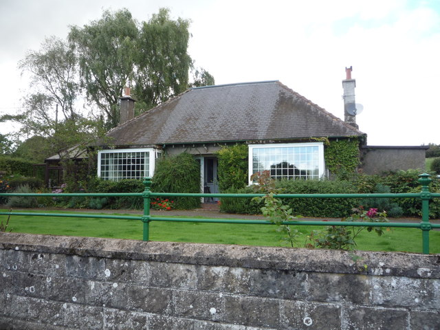
West Learmouth
- Overview Map Street View West Learmouth (aka 'Old Learmouth') is a small village in Northumberland, close to the border with Scotland. It is situated by Willow Burn and located about …

Co-Curate Page
Carham Parish, 1848
- CARHAM (St. Cuthbert), a parish, in the union of Glendale, W. division of Glendale ward, N. division of Northumberland, 3½ miles (W.S.W.) from Coldstream; containing 1,274 inhabitants. This place, according …
Co-Curate Page
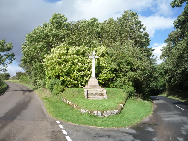
Tithe Hill
- Extract from: A Topographical Dictionary of England comprising the several counties, cities, boroughs, corporate and market towns, parishes, and townships..... 7th Edition, by Samuel Lewis, London, 1848. TITHE HILL, a …

Co-Curate Page
West Learmouth
- Overview Map Street View West Learmouth (aka 'Old Learmouth') is a small village in Northumberland, close to the border with Scotland. It is situated by Willow Burn and located about …
Co-Curate Page
Carham Parish, 1848
- CARHAM (St. Cuthbert), a parish, in the union of Glendale, W. division of Glendale ward, N. division of Northumberland, 3½ miles (W.S.W.) from Coldstream; containing 1,274 inhabitants. This place, according …


