Topics > Geography > Rivers > River Breamish > Chesters Burn (trib Breamish) > Leafield Burn
Leafield Burn
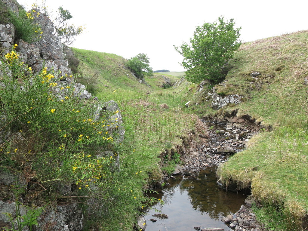
Leafield Burn is a small river in Northumberland. It flows for just over 1km, in a roughly north-easterly direction, between the high gound of Leafield edge and Ewe Hill, to join Chesters Burn (a tributary of the River Breamish). Notably, the site of Leafield Edge deserted medieval village, and it's extensive field system, was centred around Leafield Burn.

Co-Curate Page
Leafield Edge medieval settlement
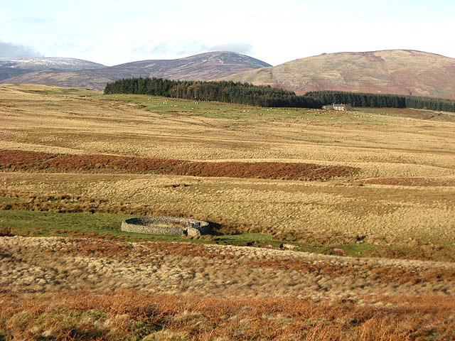
- Scheduled Monument areas - based on Historic England data (Open Government Licence). The site of Leafield Edge deserted medieval village is located about 1 mile north-west of Prendwick in Northumberland. …
from https://www.geograph.org.uk/p…
Sheepfold by Leafield Burn
- Viewed from a public footpath with the building at Chesters in the background centre right. Photo by Walter Baxter, 23 December, 2007, Geograph. CC-BY-SA 2.0
Added by
Simon Cotterill

Co-Curate Page
Leafield Edge medieval settlement
- Scheduled Monument areas - based on Historic England data (Open Government Licence). The site of Leafield Edge deserted medieval village is located about 1 mile north-west of Prendwick in Northumberland. …
from https://www.geograph.org.uk/p…
Sheepfold by Leafield Burn
- Viewed from a public footpath with the building at Chesters in the background centre right. Photo by Walter Baxter, 23 December, 2007, Geograph. CC-BY-SA 2.0
Added by
Simon Cotterill