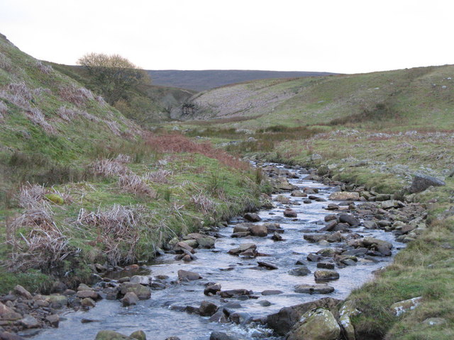
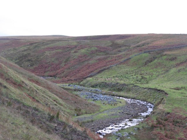
Topics > Geography > Rivers > River South Tyne > Knar Burn
Knar Burn
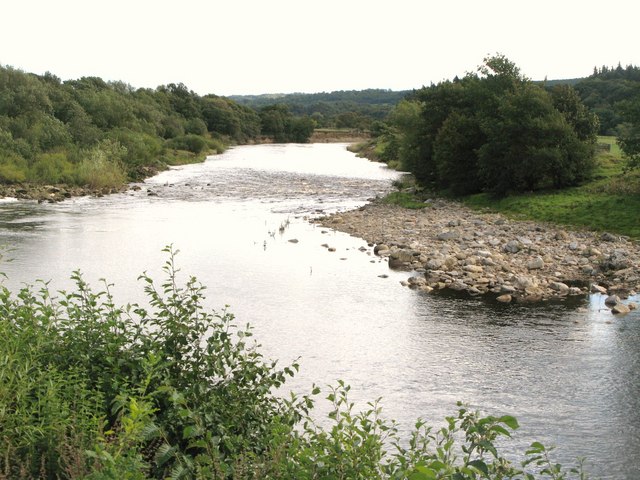
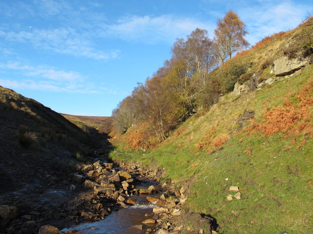
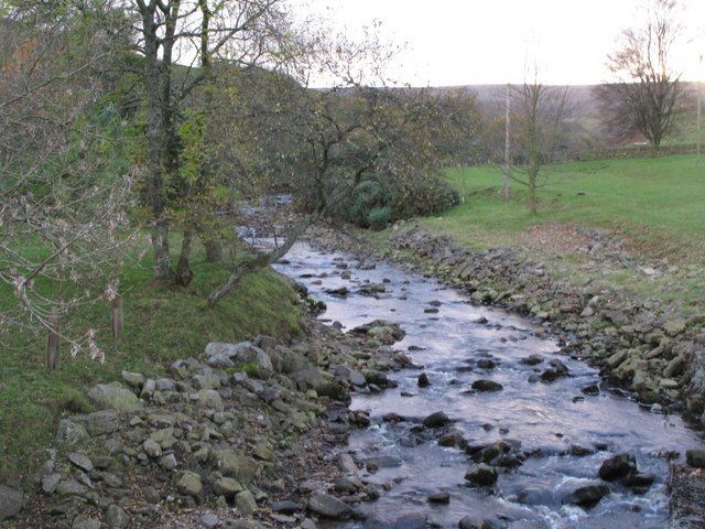
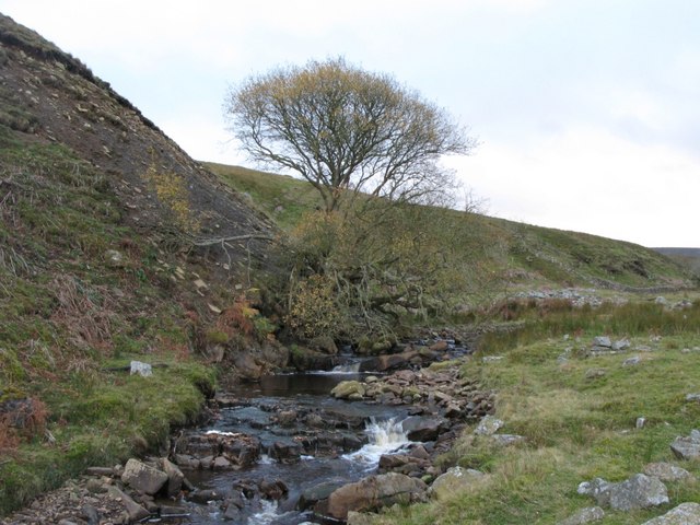
Knar Burn is a tributary of the River South Tyne; it is 8.2 km long, with a catchment area of 19.5 km2
Co-Curate Page
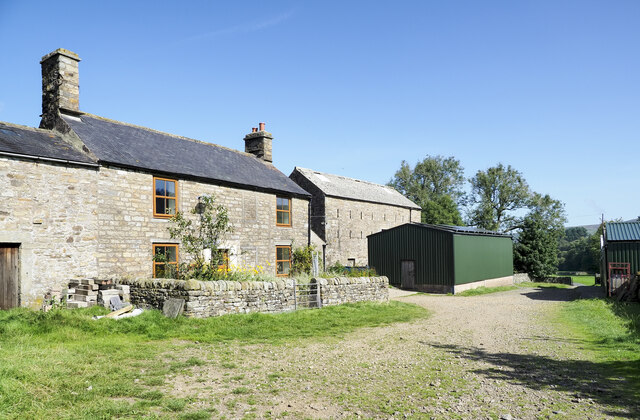
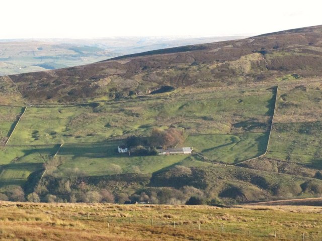
Knar, Northumberland
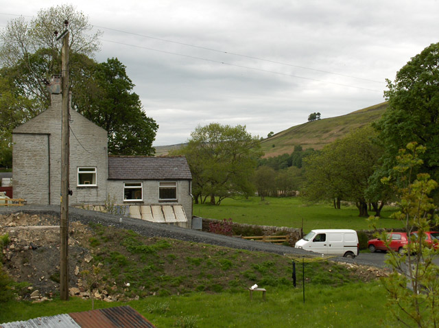
- Overview Map Knar is a farm in Northumberland, located about 1 mile south-west of the village Slaggyford and 5 miles north-west of the town of Alston, in Cumbria. It is …

Co-Curate Page
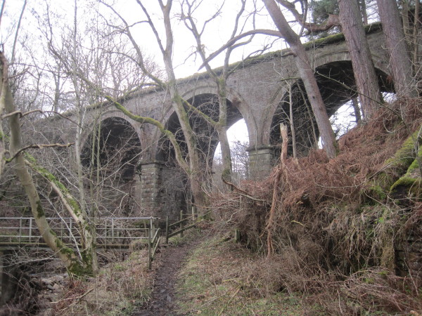
Bridge over Knar Burn
- Overview Map There is a hump-backed bridge over Knar Burn, located 200 metres north-east of Knar Farmhouse. The stone segmental arch bridge dates from the 18th century. It is Grade …

Co-Curate Page
Knar, Northumberland
- Overview Map Knar is a farm in Northumberland, located about 1 mile south-west of the village Slaggyford and 5 miles north-west of the town of Alston, in Cumbria. It is …
Co-Curate Page
Bridge over Knar Burn
- Overview Map There is a hump-backed bridge over Knar Burn, located 200 metres north-east of Knar Farmhouse. The stone segmental arch bridge dates from the 18th century. It is Grade …