Topics > Northumberland > Kidland
Kidland
KIDLAND, an extra-parochial liberty, in the union of Rothbury, W. division of Coquetdale ward, N. division of Northumberland, 12 miles (N.W. by W.) from Rothbury; containing 63 inhabitants. This liberty comprises 21,750 acres of land. It is a mountainous district, of which Kidland-Lee, on the west side of the river Alwine, is the most fertile part; many of the hills are of a conical form, and the glens which divide the eminences display a variety of bold and sublime scenery. The Cheviot breed of sheep are found here in great perfection. A chapel called Memmer-kirk stood near the source of the Alwine, but its ruins can now scarcely be traced.
Extract from: A Topographical Dictionary of England comprising the several counties, cities, boroughs, corporate and market towns, parishes, and townships..... 7th Edition, by Samuel Lewis, London, 1848.
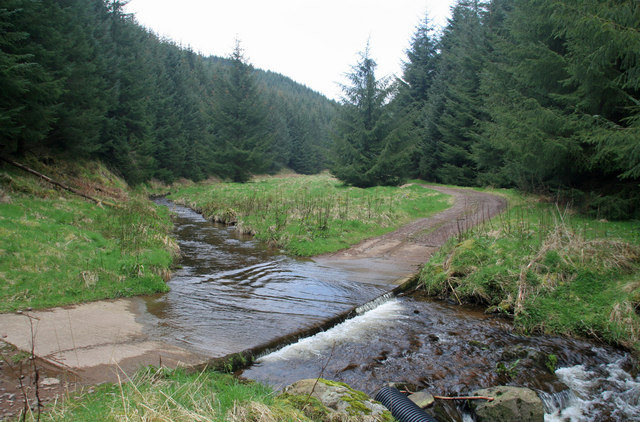
Kidland Forest
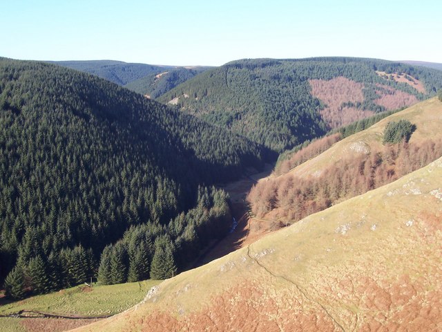
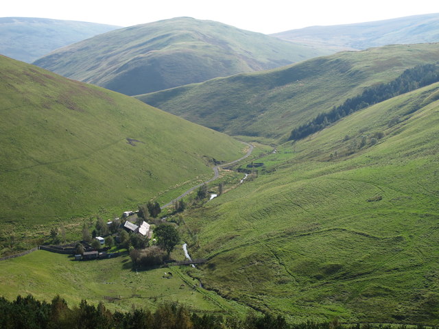
Kidland Forest covers an are of over 5,000 acres and was planted between 1953 and 1987 on the lands of the former Kidland estate, located north-west of Rothbury. About 3,000 acres are owned and managed by the Forestry Commission. The forest is in a remote area in the Cheviot hills and includes Cushat Law (a hill of 2,018 feet) and Bloodybush Edge (2,001 feet).


from https://keystothepast.info/se…
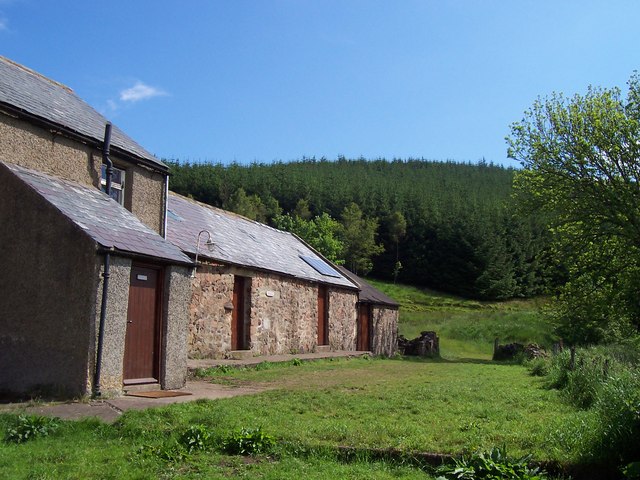
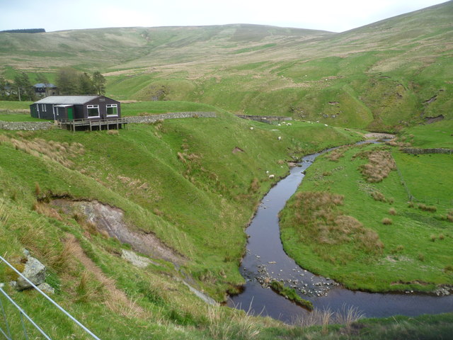
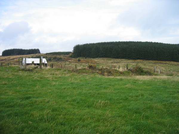
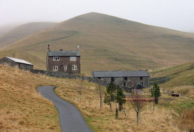
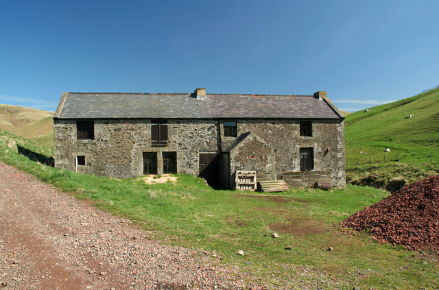
Kidlandlee
- "Some late 19th century cottages and a stable block are all that remain of a former shooting box. A former mansion here was claimed to be the highest in England, …
Added by
Simon Cotterill
from http://www.barbersasa.co.uk/k…
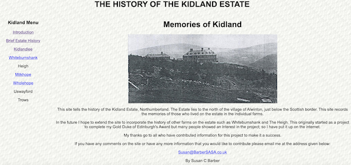
History of the Kidland Estate
- A Website by Susan C. Barber which provides a history of the Kidland Estate, including Kidlandlee and 6 farms of the estate.
Added by
Simon Cotterill
from Geograph (geograph)
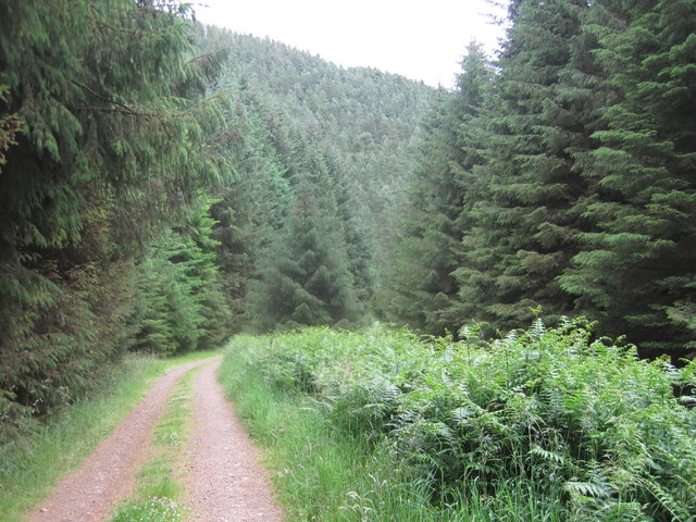
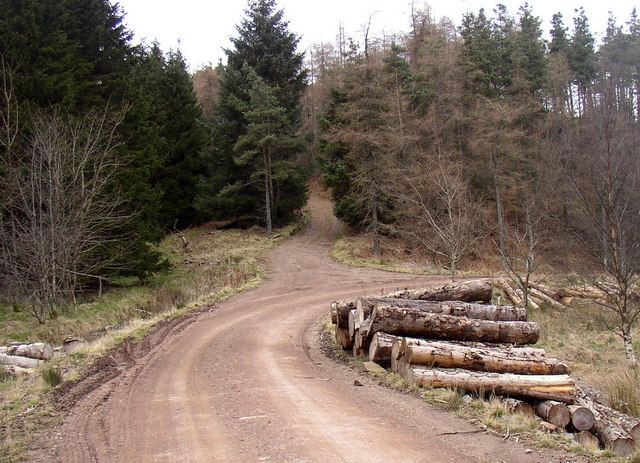
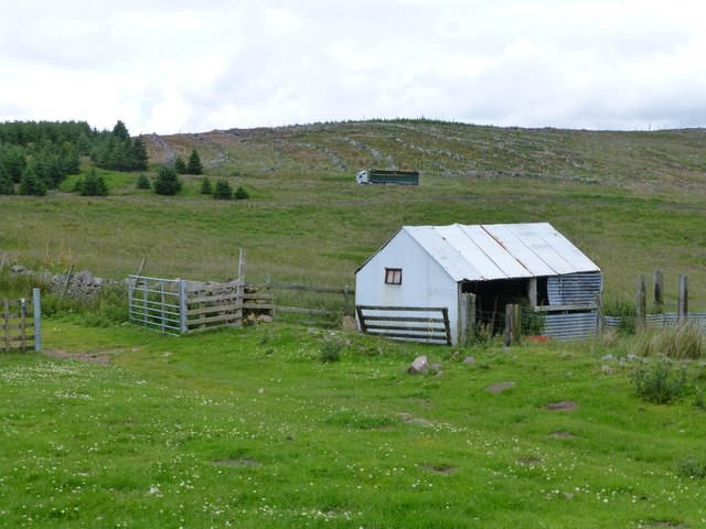
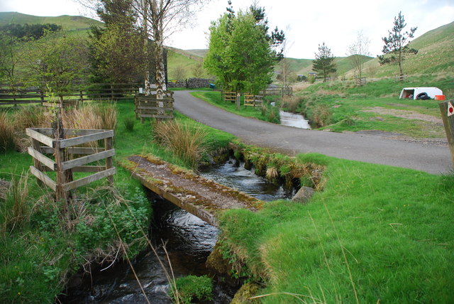
Bridleway to Heigh leaves the forest road in Kidland
Pinned by Simon Cotterill
from https://keystothepast.info/se…
Kidlandlee unenclosed settlement
- "An unenclosed settlement of later prehistoric date was discovered by aerial photography and field walking in the 1980s. It consists of house platforms, four unenclosed round houses, lynchets and a …
Added by
Simon Cotterill
from https://keystothepast.info/se…
Romano-British Settlement
- "These are the remains of a Romano-British homestead on the south-east slopes of moorland overlooking the valley of the Kidlandlee Burn. The remains of a rectangular enclosure, bounded by earth …
Added by
Simon Cotterill
from https://keystothepast.info/se…
http://www.keystothepast.info/article/10339/Site-Details?PRN=N25237
- A boundary stone has been recorded to the northeast of Kidland Forest.
Added by
Simon Cotterill
from https://keystothepast.info/se…
Boundary stone north of Bloodybush Edge
- "A boundary stone, inscribed with the letters 'K' and 'N', has been recorded north of Bloodybush Edge. This is probably Post Medieval and inscribed for the Kidland and Northumberland estates...."
Added by
Simon Cotterill
from https://keystothepast.info/se…
Boundary stone west of Outer Quickening Cleugh
- "A boundary stone west of Outer Quickening Cleugh bears the letters 'K' and 'N'. This is Post Medieval in date and is located where the Kidland and Northumberland estates meet...."
Added by
Simon Cotterill

from https://keystothepast.info/se…
Kidlandlee
- "Some late 19th century cottages and a stable block are all that remain of a former shooting box. A former mansion here was claimed to be the highest in England, …
Added by
Simon Cotterill
from http://www.barbersasa.co.uk/k…
History of the Kidland Estate
- A Website by Susan C. Barber which provides a history of the Kidland Estate, including Kidlandlee and 6 farms of the estate.
Added by
Simon Cotterill
from Geograph (geograph)
Bridleway to Heigh leaves the forest road in Kidland
Pinned by Simon Cotterill
from https://keystothepast.info/se…
Kidlandlee unenclosed settlement
- "An unenclosed settlement of later prehistoric date was discovered by aerial photography and field walking in the 1980s. It consists of house platforms, four unenclosed round houses, lynchets and a …
Added by
Simon Cotterill
from https://keystothepast.info/se…
Romano-British Settlement
- "These are the remains of a Romano-British homestead on the south-east slopes of moorland overlooking the valley of the Kidlandlee Burn. The remains of a rectangular enclosure, bounded by earth …
Added by
Simon Cotterill
from https://keystothepast.info/se…
http://www.keystothepast.info/article/10339/Site-Details?PRN=N25237
- A boundary stone has been recorded to the northeast of Kidland Forest.
Added by
Simon Cotterill
from https://keystothepast.info/se…
Boundary stone north of Bloodybush Edge
- "A boundary stone, inscribed with the letters 'K' and 'N', has been recorded north of Bloodybush Edge. This is probably Post Medieval and inscribed for the Kidland and Northumberland estates...."
Added by
Simon Cotterill
from https://keystothepast.info/se…
Boundary stone west of Outer Quickening Cleugh
- "A boundary stone west of Outer Quickening Cleugh bears the letters 'K' and 'N'. This is Post Medieval in date and is located where the Kidland and Northumberland estates meet...."
Added by
Simon Cotterill


