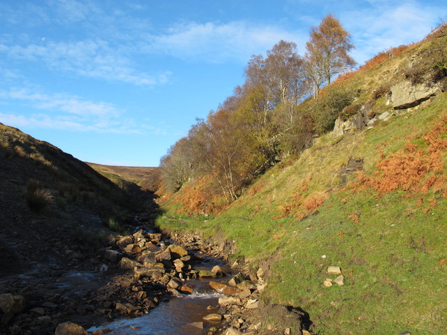
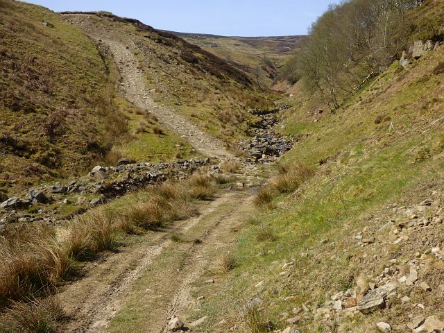
Topics > Geography > Rivers > River South Tyne > Knar Burn > Hut Burn
Co-Curate Page
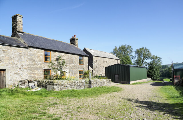
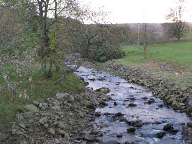
Knar, Northumberland
- Overview Map Knar is a farm in Northumberland, located about 1 mile south-west of the village Slaggyford and 5 miles north-west of the town of Alston, in Cumbria. It is …


")
