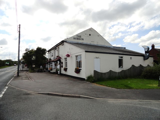
Topics > County Durham > Hobson
Co-Curate Page
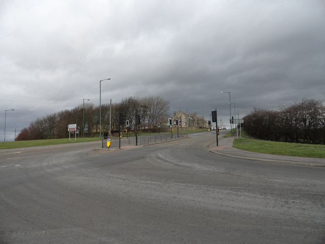
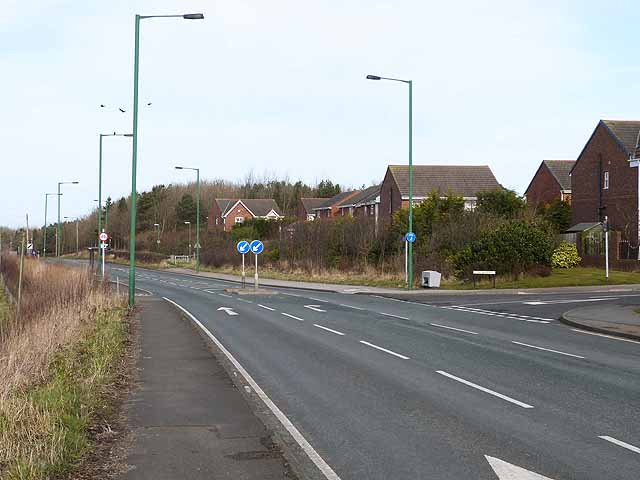
Burnopfield
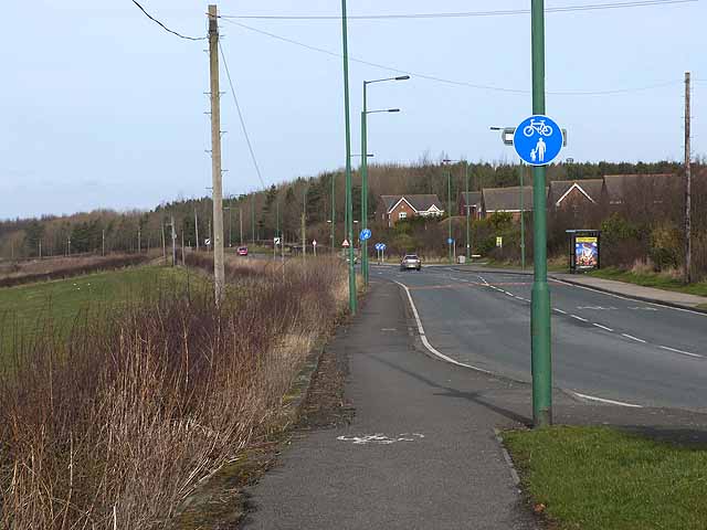
- Overview About Burnopfield Map Street View "The settlement of Burnopfield is believed to have Anglo-Saxon origins, but its interest today lies in its connections with the local coal mining industry …

Co-Curate Page
Burnopfield Colliery (1725 - 1968)
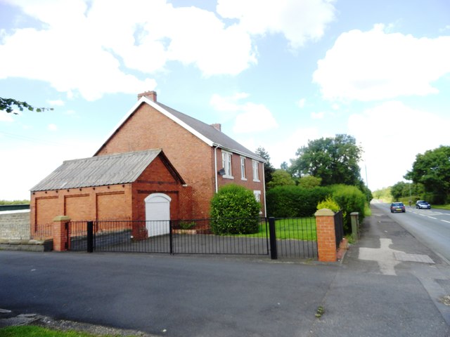
- Burnopfield Colliery (also known as Hobson Colliery or Hobson Pit) was first sunk in c.1725[1] (another source indicates it opened in 1742)[2]. The colliery gave rise to the pit village …

Co-Curate Page
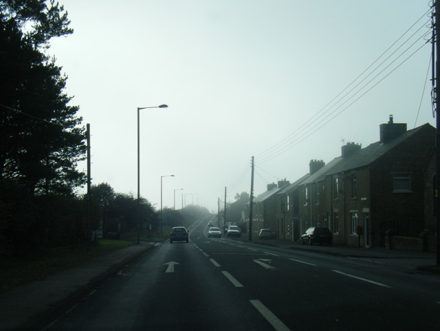
Burnopfield
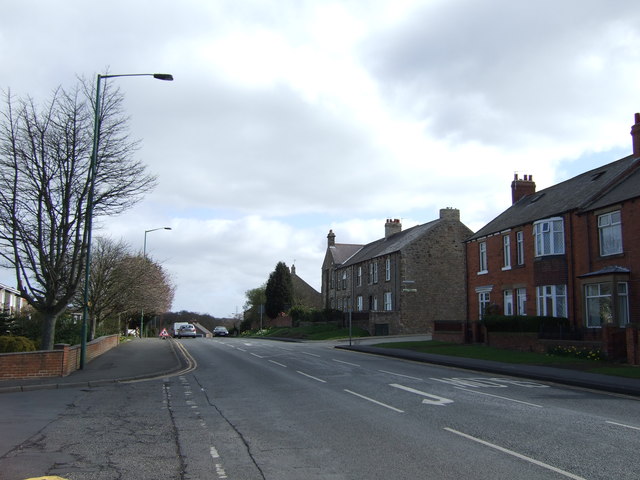
- Overview About Burnopfield Map Street View "The settlement of Burnopfield is believed to have Anglo-Saxon origins, but its interest today lies in its connections with the local coal mining industry …