Topics > County Durham > Witton Gilbert > Witton Gilbert Parish, 1848
Witton Gilbert Parish, 1848
Extract from: A Topographical Dictionary of England comprising the several counties, cities, boroughs, corporate and market towns, parishes, and townships..... 7th Edition, by Samuel Lewis, London, 1848.
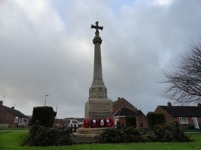
WITTON-GILBERT (St. Michael), a parish, in the union of Chester-le-Street, W. division of Chester ward, N. division of the county of Durham, 3½ miles (W.) from Durham; containing 1243 inhabitants. This place, which takes its distinctive affix from Gilbert de la Ley, its proprietor in the reign of Henry II, was formerly a portion of the parish of St. Oswald in the city of Durham, from which it was separated in 1423; and in 1593, the ancient rectory of Kimblesworth, of which the church had fallen into decay, was united with Witton-Gilbert. The parish comprises about 2535 acres, of which 1083, being church lands, are tithe-free; of the remainder, 886 are arable, 536 meadow and pasture, and 30 woodland and plantations. The surface is varied, the scenery in some parts enlivened with the windings of the Browney, and abounding with features of romantic character. The village stands on the north bank of the river, and is large, and neatly built. The living is a perpetual curacy, in the gift of the Dean and Chapter of Durham: the tithes have been commuted for £301. 11. The church is a small neat structure, without a tower; the nave and chancel are separated by a screen of oak rudely carved. Jane Furney bequeathed lands now producing £12 per annum for the instruction of children; and a national school is supported by subscription. An hospital for five lepers was founded by Gilbert de la Ley, of which the only memorial now remaining is a pointed window in a farmhouse occupying the site. On an eminence within a rapid sweep of the Browney, are the ruins of Beaurepaire, or Bear Park, consisting of the shattered and roofless walls of an ancient chapel, and of some adjacent buildings. The house and chapel were founded by Prior Bertram, in the 13th century, as a place of retreat for himself and successors; they suffered great injury at various times from warlike movements, and their ruin was most probably completed by the Scottish army, when in possession of Durham, in 1641 and 1644.

from https://openlibrary.org/books…
A topographical dictionary of England, Samuel Lewis, 7th Ed., 1848
- A topographical dictionary of England
comprising the several counties, cities, boroughs, corporate and market towns, parishes, and townships, and the islands of Guernsey, Jersey, and Man, with historical and statistical …
Added by
Simon Cotterill