Topics > Aspatria > Aspatria Parish, 1848
Aspatria Parish, 1848
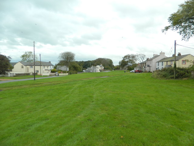
ASPATRIA (St. Kentigern), a market-town and parish, in the union of Wigton, Allerdale ward below Derwent, W. division of Cumberland; comprising the townships of Aspatria with Brayton, Hayton with Melay, and Oughterside with Allerby; and containing 1,921 inhabitants, of whom 988 are in the townships of Aspatria with Brayton, 9 miles (N. by E.) from Cockermouth. This village, which derives its name from Gospatrick, father of the first lord of Allerdale, extends for a considerable distance along the side of a hill, and has recently assumed somewhat the character of a town, by the erection of several good and substantial dwelling-houses. A pitched market for corn is held on Thursday. The parish comprises by measurement 7064 acres, and is bounded on the west by the Solway Frith, and on the south-east and south by the river Ellen. It contains a vein of red freestone at Hayton, and coal at Oughterside. The Maryport and Carlisle railway passes through, and has a station here. The living is a vicarage, valued in the king's books at £10.4.2.; net income, £249; patron and appropriator, the Bishop of Carlisle. The tithes were partially commuted in 1817 for land. The church was originally in the Norman style, but there are no remains of its ancient character except two arches. A place of worship for Independents was built in 1827. In 1790 a barrow was opened in the vicinity, when the skeleton of a man, with the corroded remains of some military weapons, etc., was discovered.
Extract from: A Topographical Dictionary of England comprising the several counties, cities, boroughs, corporate and market towns, parishes, and townships..... 7th Edition, by Samuel Lewis, London, 1848.

from https://openlibrary.org/books…
A topographical dictionary of England, Samuel Lewis, 7th Ed., 1848
- A topographical dictionary of England
comprising the several counties, cities, boroughs, corporate and market towns, parishes, and townships, and the islands of Guernsey, Jersey, and Man, with historical and statistical …
Added by
Simon Cotterill

Co-Curate Page
Hayton (Allerdale)
- Overview Map Street View HAYTON, with Melay, a township, in the parish of Aspatria, union of Wigton, Allerdale ward below Derwent, W. division of Cumberland, 7 miles (N. by W.) …


from https://openlibrary.org/books…
A topographical dictionary of England, Samuel Lewis, 7th Ed., 1848
- A topographical dictionary of England
comprising the several counties, cities, boroughs, corporate and market towns, parishes, and townships, and the islands of Guernsey, Jersey, and Man, with historical and statistical …
Added by
Simon Cotterill


