Topics > Civil Parishes in Cumbria > Urswick Civil Parish > Historic Buildings and Monuments in Urswick Civil Parish
Historic Buildings and Monuments in Urswick Civil Parish
Listed buildings and scheduled monuments in Urswick Civil Parish, Cumbria, from the National Heritage List for England[1]. In the absence of a published 'local list', some other public buildings of interest may also be included. Use the Search (below) if looking for a specific building / monument.
| Structure | List No. | Grade | Built~ | Note |
|---|---|---|---|---|
| Bardsea Monument in Grounds of Ulverston Golf Club | 1311389 | II | ||
| Church of Holy Trinity | 1086800 | II | ||
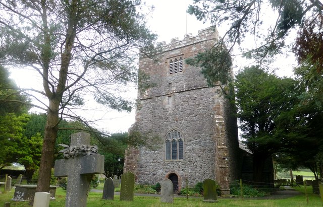
| Church of St Mary and St Michael | 1086801 | I | C13th | Great Urswick |
| Gale Monument Approximately 23.5 Metres South of St Mary's Church | 1086802 | II | ||
| Holme Bank Cottages | 1335965 | II | ||
| Mid Town House | 1311375 | II | ||
| Redmayne Hall and Outbuilding | 1158707 | II | ||
| Stainton Old Hall and Adjoining House | 1335966 | II | ||
| Sundial Approximately 9 Metres South of St Mary's Church | 1311374 | II | ||
| Well Head House, Well Head | 1086803 | II | ||
| Well House and Cottage | 1158677 | II | ||
| Romano-British farmstead east of Little Urswick Crags | 1013823 | n/a | Scheduled Monument | |
| Romano-British farmstead on Little Urswick Crags | 1013822 | n/a | Scheduled Monument | |
| Long barrow north of Skelmore Heads, 300m NE of Woodside Farm | 1013962 | n/a | Scheduled Monument | |
| Round cairn on Appleby Hill | 1013963 | n/a | Scheduled Monument | |
| Round cairn on Birkrigg Common, 600m north west of High Sunbrick Farm | 1013964 | n/a | Scheduled Monument | |
| Round cairn on Birkrigg Common, 520m north west of High Sunbrick Farm | 1013965 | n/a | Scheduled Monument | |
| Palisaded hilltop enclosure, a slight univallate hillfort, and a dewpond at Skelmore Heads, 280m east of Woodside Farm | 1014875 | n/a | Scheduled Monument | |
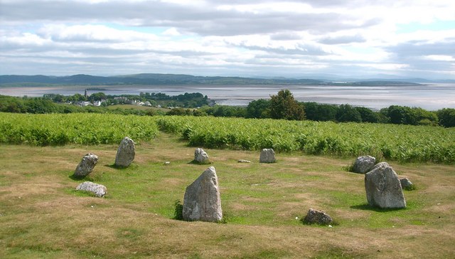
| Concentric stone circle on Birkrigg Common | 1013501 | n/a | Scheduled Monument | |
| Prehistoric enclosed hut circle settlement, an associated enclosure, and a bowl barrow NNE of Appleby Slack | 1013818 | n/a | Scheduled Monument | |
| Romano-British enclosed hut circle settlement 660m south east of Holme Bank | 1013821 | n/a | Scheduled Monument | |
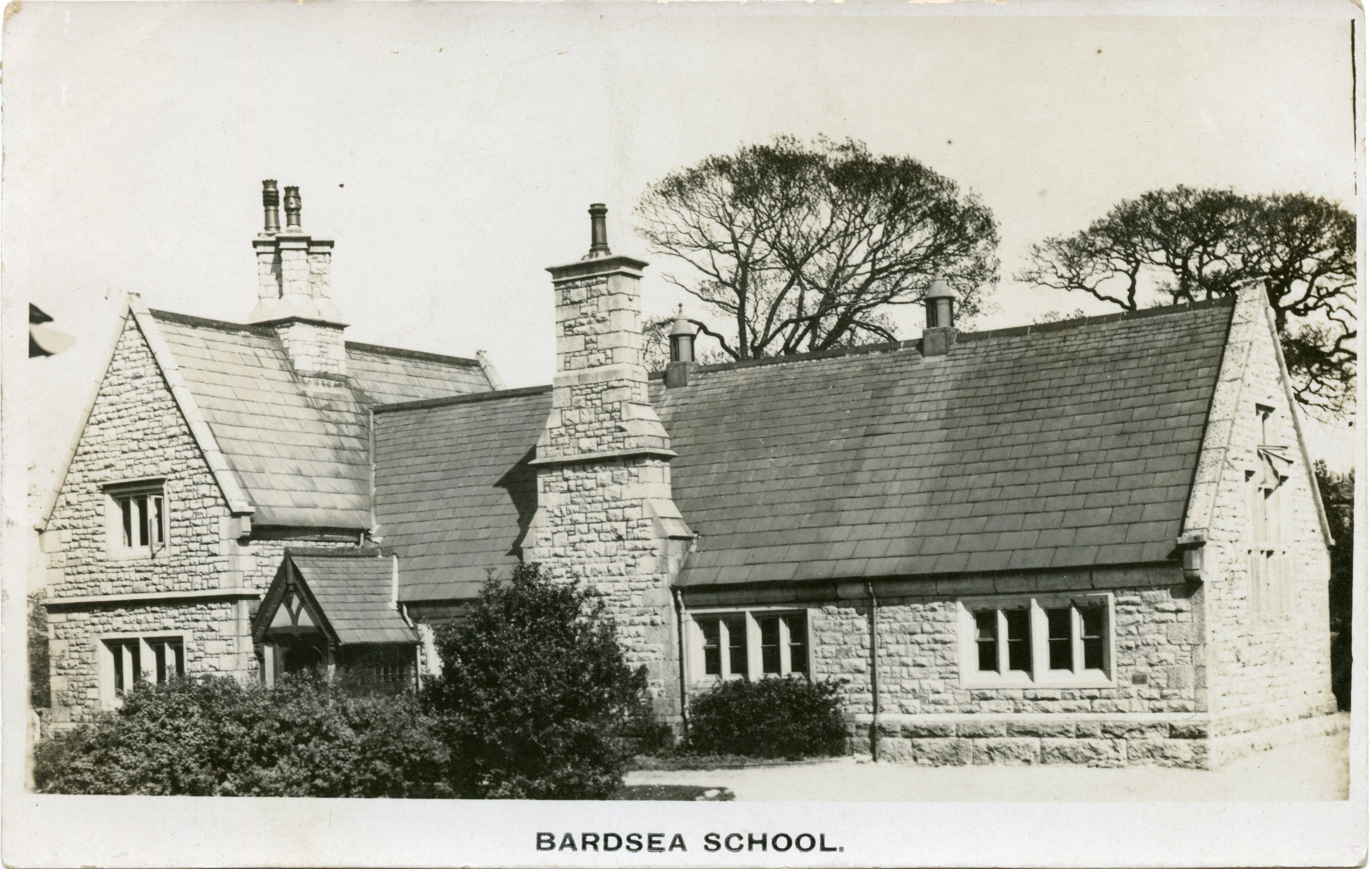
| Former School | Not listed | n/a | 1951 | Bardsea, Main Street |
Primary source: the National Heritage List for England - NHLE is the register of nationally protected historic buildings and sites in England, including listed buildings, scheduled monuments, protected wrecks, registered parks and gardens, and battlefields. The list is maintained by Historic England. Check NHLE for updates and new entries. Secondary sources: British Listed Buildings.

Co-Curate Page
Church of St Mary and St Michael, Great Urswick
- Overview About the Church Map Street View St Mary and St Michael's Church in Great Urswick was once under the patronage of the monks of Furness Abbey, though it is …

Co-Curate Page
Birkrigg Stone Circle
- Overview About Birkrigg Stone Circle Map Street View Birkrigg Stone Circle (also known as the Druid's Circle) is located on Birkrigg Common in Cumbria, located about 2 miles south of …

Co-Curate Page
Former School, Bardsea
- This former school on Main Street in Bardsea was built in 1851. It replaced an endowed school at Bardsea which was founded in 1781. The school was enlarged in 1897, …


Co-Curate Page
Church of St Mary and St Michael, Great Urswick
- Overview About the Church Map Street View St Mary and St Michael's Church in Great Urswick was once under the patronage of the monks of Furness Abbey, though it is …

Co-Curate Page
Birkrigg Stone Circle
- Overview About Birkrigg Stone Circle Map Street View Birkrigg Stone Circle (also known as the Druid's Circle) is located on Birkrigg Common in Cumbria, located about 2 miles south of …


