Topics > Civil Parishes in Cumbria > Crosthwaite and Lyth Civil Parish > Historic Buildings and Monuments in Crosthwaite and Lyth
Historic Buildings and Monuments in Crosthwaite and Lyth
Listed buildings and scheduled monuments in Crosthwaite and Lyth Civil Parish, Cumbria, from the National Heritage List for England[1]. Use the Search (below) if looking for a specific building / monument.
| Structure | List No. | Grade | Built~ | Note |
|---|---|---|---|---|
| Barn Immediately to North of Flodder Hall | 1205014 | II | ||
| Barn Immediately to North of Pool Bank Farmhouse | 1205076 | II | ||
| Barn Immediately to South of Pool Bank | 1087131 | II | ||
| Bee House Facing East Approximately 35 Metres to North of Crosthwaite House | 1204904 | II | ||
| Bee House Facing South Approximately 35 Metres to North of Crosthwaite House | 1087122 | II | ||
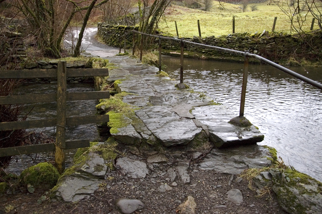
| Birks Bridge | 1266566 | II | C17th | Footbride over R. Winster. Partly in this parish. |
| Bridge Approximately 30 Metres to East of Lyth Valley Hotel | 1087126 | II | ||
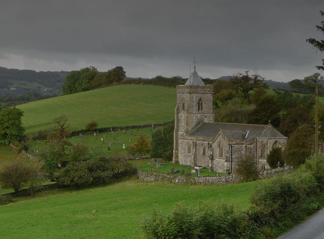
| Church of St Mary | 1335804 | II | 1878 | Crosthwaite |
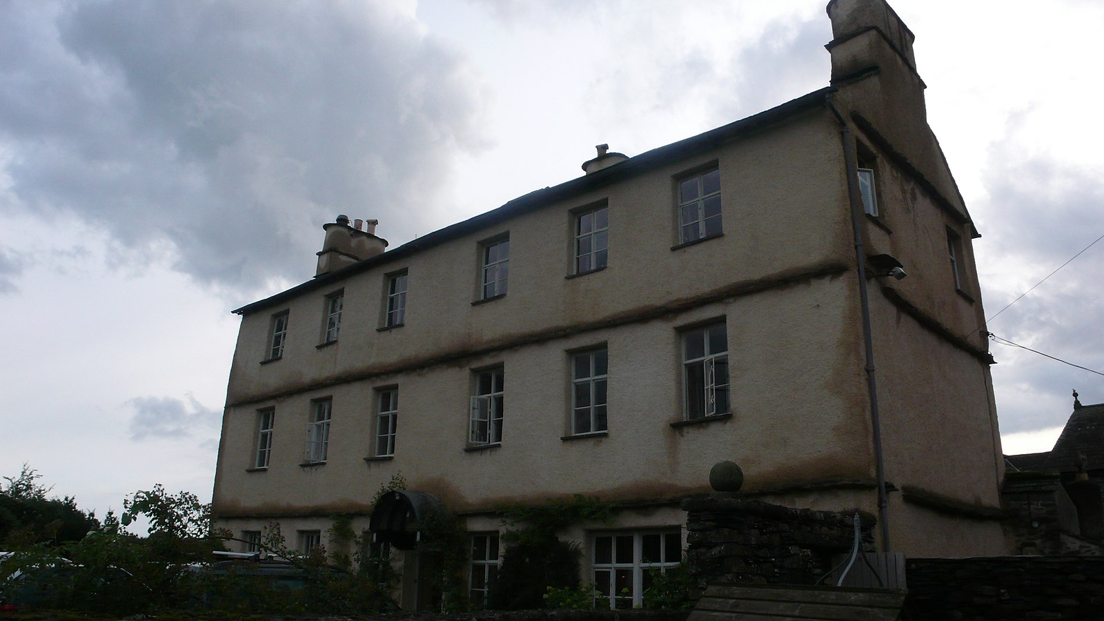
| Cowmire Hall and Wall Running Approximately 20 Metres to East, with Gate Piers | 1087118 | II* | C16th | Incorporating pele tower |
| Crosthwaite Corn Mill with Adjoining Store, Kiln, Stable and Mill Race | 1087129 | II | ||
| Crosthwaite House | 1087120 | II | ||
| Draw Well | 1204996 | II | ||
| Farm Outbuilding East of High Birks Farmhouse | 1140144 | II | ||
| Farm Outbuilding East South East of High Birks Farmhouse | 1109680 | II | ||
| Farmhouse and Adjoining Barn Approximately 46 Metres to North East of Crosthwaite Corn Mill | 1280900 | II | ||
| Flodder Hall and Outbuildings | 1335805 | II | ||
| Footbridge Approximately 70 Metres to West of Dodds Howe | 1087123 | II | ||
| Former Dame School Approximately 15 Metres North of Crosthwaite House | 1087121 | II | ||
| High Cartmell Fold Farmhouse | 1204913 | II | ||
| Hill Farmhouse and Adjoining Outbuilding | 1204950 | II | ||
| Limekiln Approximately 150 Metres North West of Row Farm | 1205027 | II | ||
| Limekiln Approximately 150 Metres West of Whitebeck | 1087128 | II | ||
| Limekiln Approximately 300 Metres to South West of Dawson Fold | 1335806 | II | ||
| Limekiln Approximately 70 Metres North-West of the Howe | 1205030 | II | ||
| Limekiln at SD 435 895 | 1087119 | II | ||
| Lord's Bridge | 1205096 | II | ||
| Low Cartmell Fold | 1087124 | II | ||
| Mill Dam with Weir Sluice Gates, and Mill Race | 1205060 | II | ||
| Ormandy House and Outbuilding | 1204917 | II | ||
| Outbuilding Approximately 30 Metres to West of Flodder Hall | 1087127 | II | ||
| Outbuildings to West and North of Cowmire Hall | 1335803 | II | ||
| Pig-Sty Approximately 9 Metres to South East of Farmhouse at Crosthwaite Corn Mill | 1335807 | II | ||
| Pool Bank Farmhouse | 1087130 | II | ||
| Pool Bank House | 1280882 | II | ||
| Pool Bank North with Outbuilding | 1335808 | II | ||
| Privy 20 Metres to North West of Crosthwaite House | 1204895 | II | ||
| Spout House | 1087125 | II |
Primary source: the National Heritage List for England - NHLE is the register of nationally protected historic buildings and sites in England, including listed buildings, scheduled monuments, protected wrecks, registered parks and gardens, and battlefields. The list is maintained by Historic England. Check NHLE for updates and new entries. Secondary sources: British Listed Buildings.

Co-Curate Page
Cowmire Hall
- Overview About Cowmire Hall Map Street View Cowmire Hall is located about 2 miles south-west of Crosthwaite in the South Lakeland district of Cumbria. The hall includes a 16th century …

Co-Curate Page
Birks Bridge over the River Winster
- Overview Map Street View Birks Bridge is a stone footbridge over the River Winster in the South Lakeland district of Cumbria, located about 1 mile south-west of Winster and 2 …


Co-Curate Page
Cowmire Hall
- Overview About Cowmire Hall Map Street View Cowmire Hall is located about 2 miles south-west of Crosthwaite in the South Lakeland district of Cumbria. The hall includes a 16th century …


