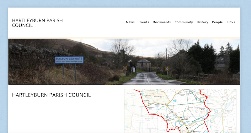
Topics > Northumberland > Civil Parishes in Northumberland > Hartleyburn Civil Parish
Hartleyburn Civil Parish
Area: 14.3 km²
Population:
199 (2021 Census)
182 (2011 Census)
213 (2001 Census)
Co-Curate Page
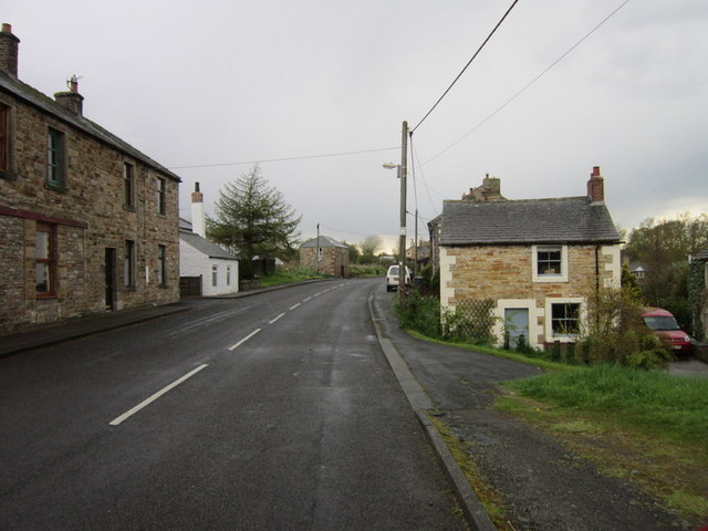
Halton-Lea-Gate
- Overview About Halton Lea Gate Map Street View Halton Lea Gate is a small Northumberland village, situated on the A689 road close to the boundary of the counties of …

from https://keystothepast.info/se…
Local history: Hartleyburn
- "Hartleyburn parish lies in the very south-west corner of Northumberland, on the county boundary with Cumbria. Much of the parish is the high moorland of Hartleyburn Common with the valley …
Added by
Simon Cotterill
Co-Curate Page
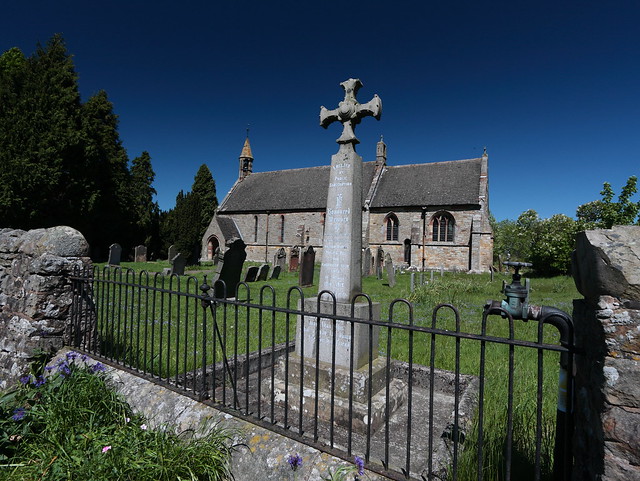
Lambley and Hartleyburn War Memorial
- Overview Map Street View Lambley and Hartleyburn War Memorial stands in the churchyard of St. Mary and St. Patrick's Church in Lambley. The memorial was unveiled on the 21stof February …

Co-Curate Page
Halton-Lea-Gate
- Overview About Halton Lea Gate Map Street View Halton Lea Gate is a small Northumberland village, situated on the A689 road close to the boundary of the counties of …
from https://keystothepast.info/se…
Local history: Hartleyburn
- "Hartleyburn parish lies in the very south-west corner of Northumberland, on the county boundary with Cumbria. Much of the parish is the high moorland of Hartleyburn Common with the valley …
Added by
Simon Cotterill

")


