Topics > Northumberland > Harlow Hill
Harlow Hill
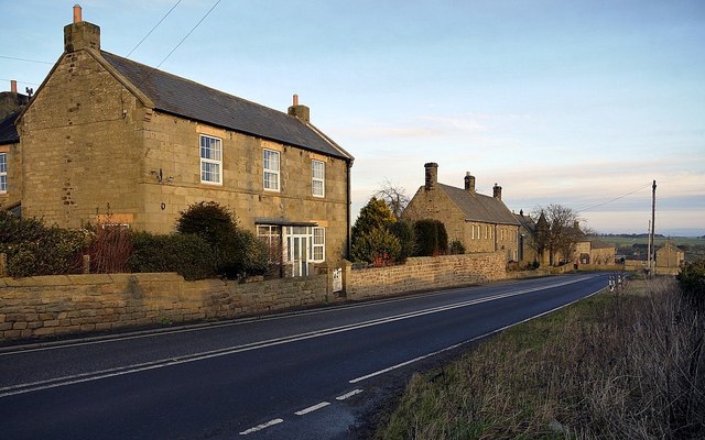
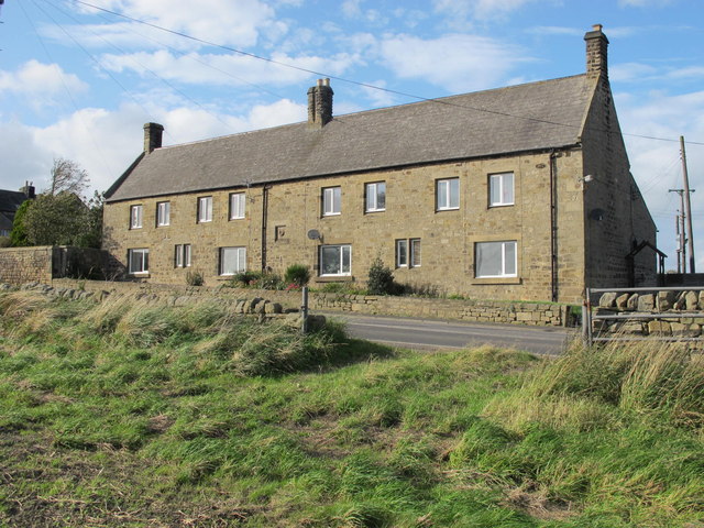
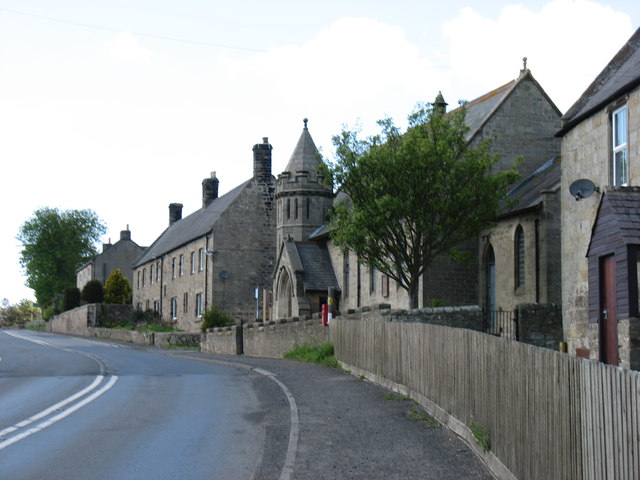
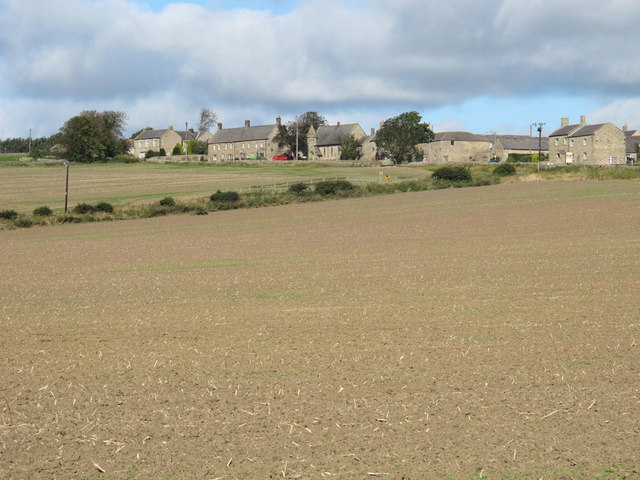
Harlow Hill is a hamlet in Northumberland, located about 2 miles south of Stamfordham and 10 miles north-west of Newcastle upon Tyne. Harlow Hill is part of the Civil Parish of Stamfordham. Historically, Harlow Hill was a township in the ancient parish of Ovingham.
HARLOW-HILL, a township, in the parish of Ovingham, union of Castle ward, E. division of Tindale ward, S. division of Northumberland, 10½ miles (W.N.W.) from Newcastle-upon-Tyne; containing 137 inhabitants. This place, the name of which is a corruption of Hare-law, "the hill or station of the army," stands on an eminence commanding an extensive prospect; it comprises 993 acres of land, and is the property of the Duke of Northumberland. The village adjoins the military road, and is three miles north of Ovingham; it is tolerably well built. The impropriate tithes have been commuted for £48.
Extract from: A Topographical Dictionary of England comprising the several counties, cities, boroughs, corporate and market towns, parishes, and townships..... 7th Edition, by Samuel Lewis, London, 1848.
Harlow Hill is a small village in Northumberland, England, in the civil parish of Stamfordham.
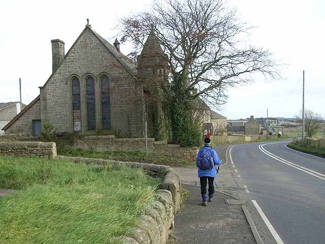
Harlow Hill lies on the line of Hadrian's Wall, and is the site of Milecastle 16. The Military Road also passes by the village.
Harlow Hill was historically a township in the ancient parish of Ovingham. It became a separate civil parish in 1866. The civil parish was abolished in 1955, when it was merged with other parishes to create the civil parish of Stamfordham.
Visit the page: Harlow Hill, Northumberland for references and further details. You can contribute to this article on Wikipedia.