Topics > Geography > Rivers > River South Tyne > Haltwhistle Burn
Haltwhistle Burn
Map showing Haltwistle Burn and it's Catchment Area, including Caw Burn and Pont Gallon Burn.
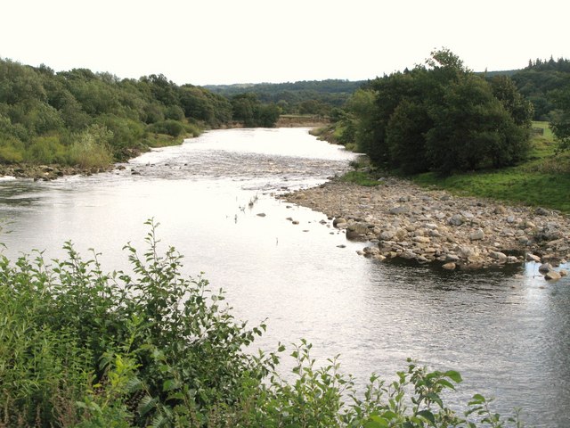
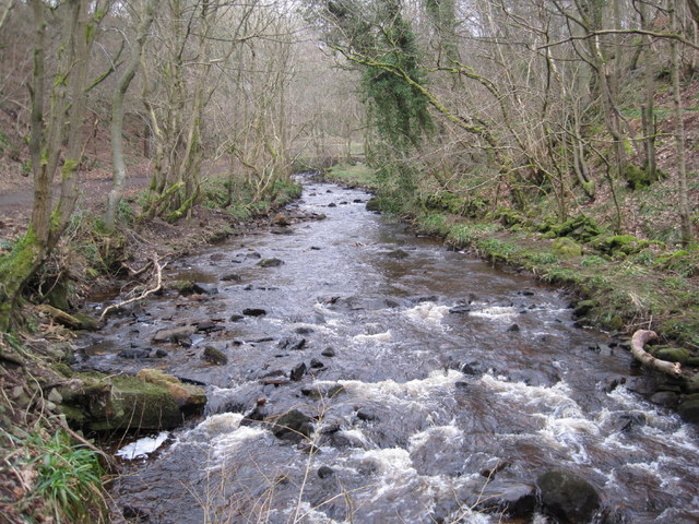
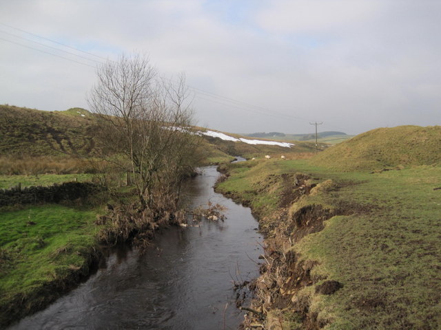
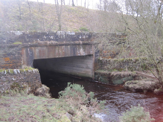
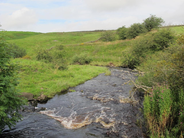
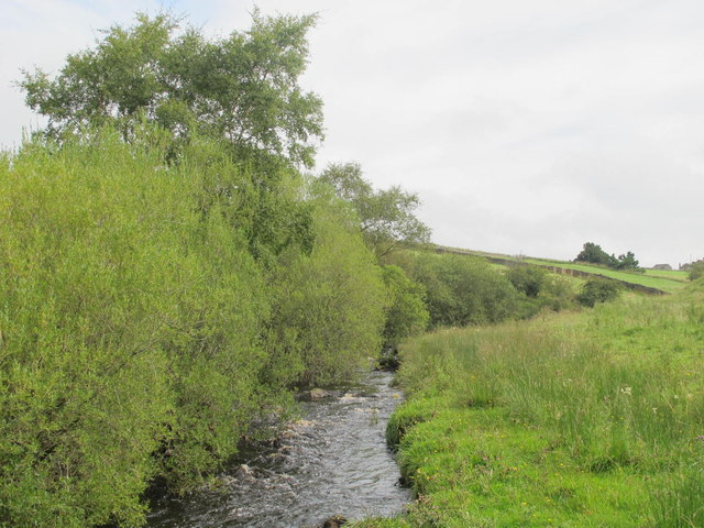
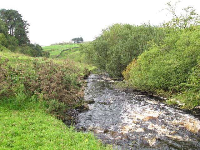
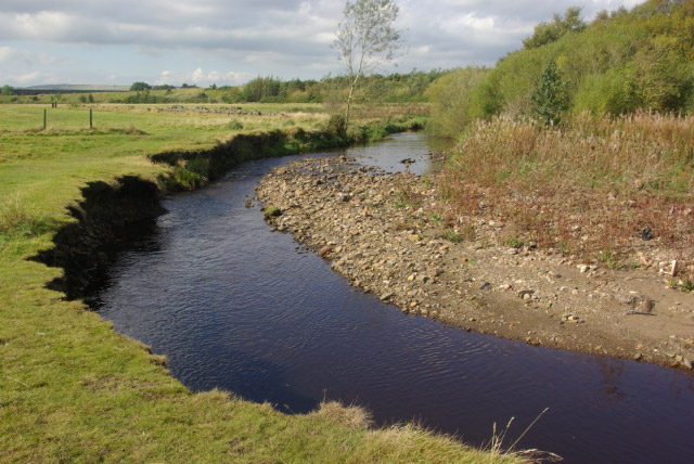
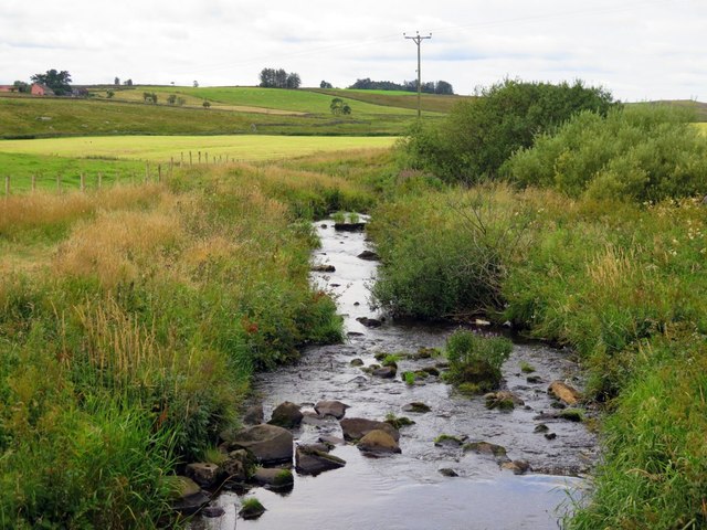
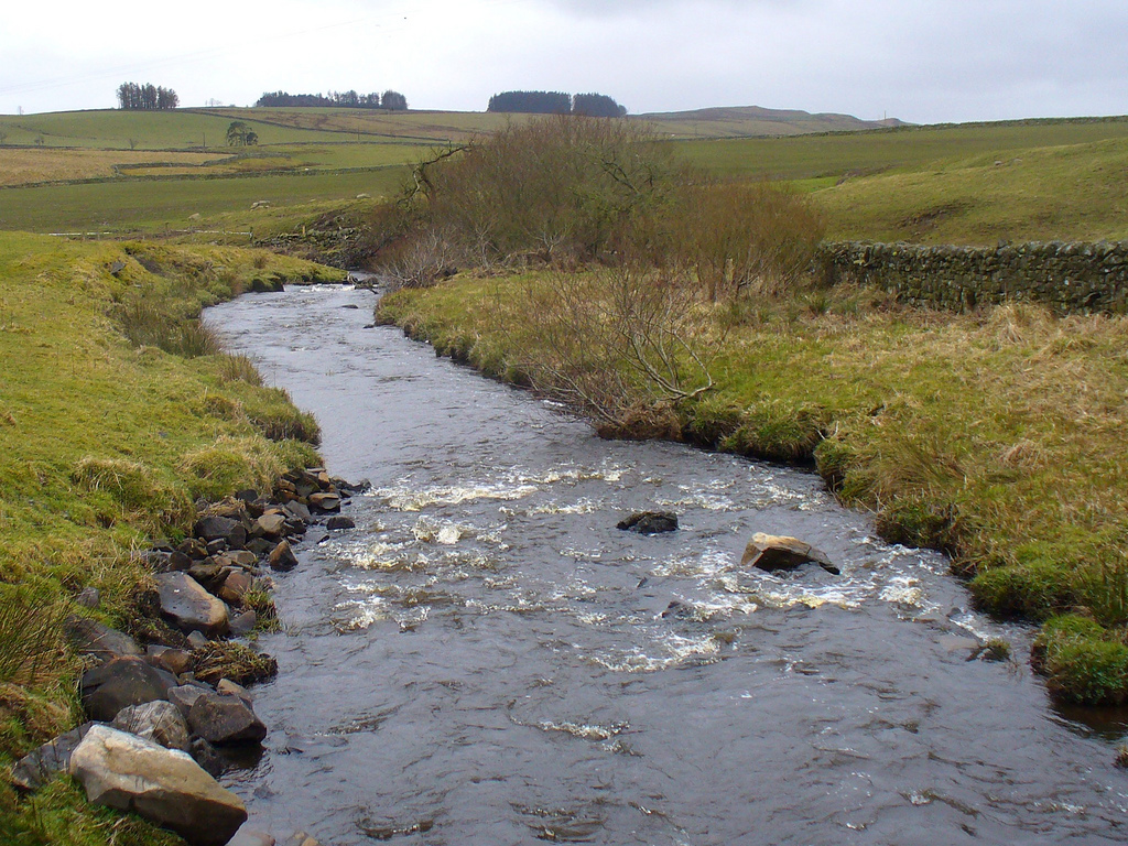
 Haltwhistle Burn is a river, which is a tributary of the River South Tyne. The Burn lies just east of Haltwhistle in Northumberland. Haltwhistle Burn forms at the confluence of Caw Burn and Pont Gallon Burn. The Burn flows south past Hadrian's Wall and into a gorge, then on to Haltwhistle, passing through a culvert under the B6322 road, and on to it's confluence with the River South Tyne.[1] There are the remains of Roman fortlets which guarded Stanegate (Roman military road) where it crossed Haltwhistle Burn. There are also disused lime kilns (probably 19th century) in the valley, beside Haltwhistle Burn, near Stanegate. Newcastle University ran a community-based (‘citizen science’) project collecting observations form the public for rain and water levels within the 42 km2 Haltwhistle Burn catchment area.[2]
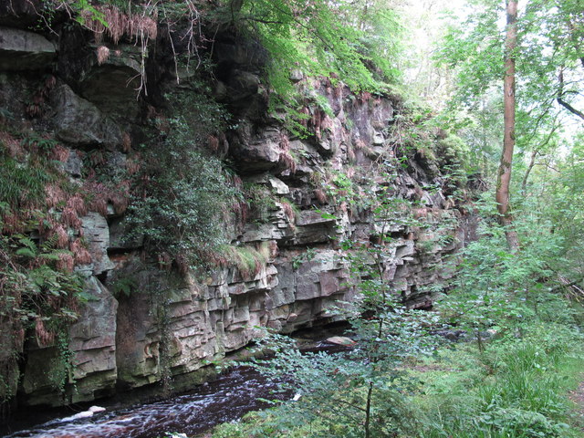
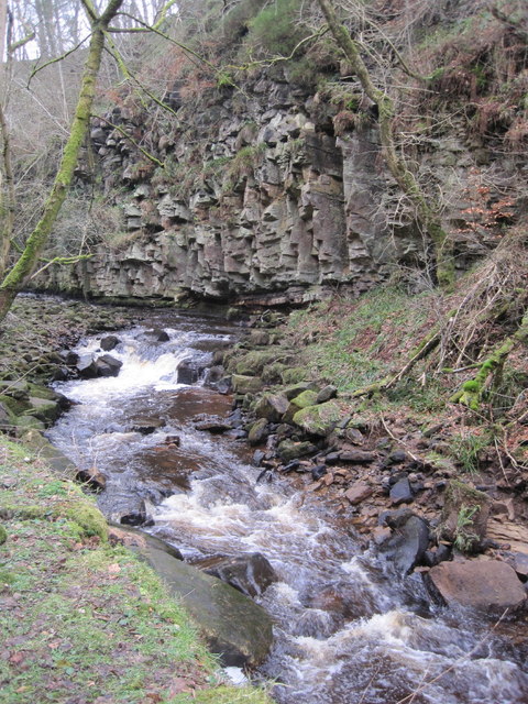
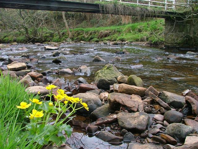
The Haltwhistle Burn is a river which lies to the east of the Northumbrian town of Haltwhistle. Rising in the peaty uplands below the ridge of the Whin Sill, the burn passes through the Roman Military Zone south of Hadrian's Wall and through a dramatic sandstone gorge before descending between wooded banks to the South Tyne Valley. The Haltwhistle Burn drains an area of approximately 42 km2. Today the Burn is a haven for wildlife and a popular walk for residents and tourists but from Roman times until the 1930s the combination of valuable minerals and water power attracted a succession of industries which provided goods and employment to the town.
Geology and associated industries
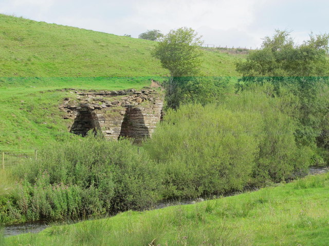
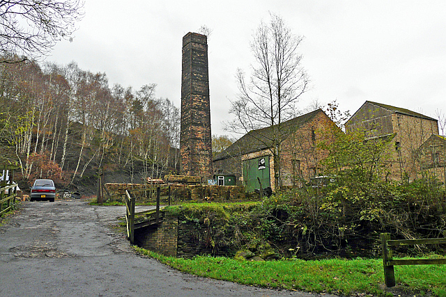
The rocks underlying this part of Northumberland were laid down during the Carboniferous Period when variations in sea level resulted in successive deposits of limestone, shale, sandstone, and coal, known in the UK as Yoredale cycles and in the US as cyclothems. The water of the Haltwhistle Burn has cut through these deposits giving access to building stone, clay and coal, leading to the development of the associated industries of quarrying, lime burning, brick, tile and pipe manufacture, coal mining and coke (fuel) and coal-gas production. Ironstone, found in association with the coal seams was also smelted on the banks of the burn.
Water power
The bed of the burn descends into the valley at a gentle angle of approximately 1 degree but the fall is sufficient to have run a corn mill and three woollen manufactories during the 18th and 19th centuries. The earliest of these processes to be mechanised was fulling, with the first records on the site dating to 1612. Later, with advances in technology, the carding and spinning of wool was also carried out in watermills. The advent of steam-driven mills led to the abandonment of woollen processing along the burn. Two mills were demolished in the 1930s and the remaining fulling mill is now a dwelling.
Roman fort
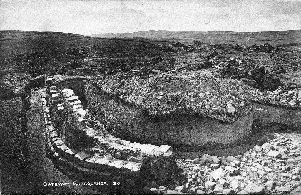
The remains of Haltwhistle Burn Roman Fort are situated on the eastern bank of Haltwhistle Burn, just north of the point where it is crossed by the B6318 (on the course of the Stanegate).
Citizen science
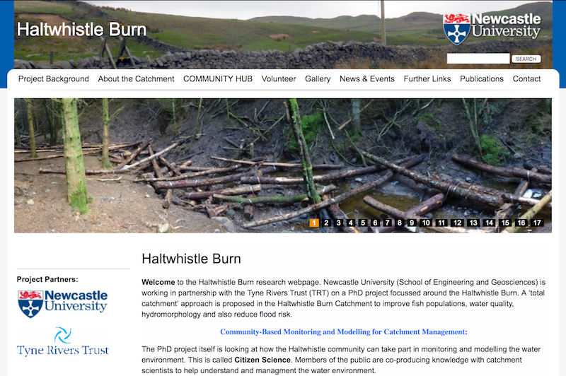
The Haltwhistle Burn has been used as an important pilot site for an innovative citizen science research project led by Newcastle University. The project enabled the local community to monitor the weather and water environment using simple and low-cost methods, including rainfall, river levels and flood events. This has provided locals and scientists, who are concerned about preserving the health of the Haltwhsitle Burn, with increased knowledge in order to manage flood risk, water quality and river morphology issues. These citizen science observations are being used to fill the data gaps in order to understand and manage location-specific issues. Commencing in 2013, the project was one of the first in the UK to explore and implement citizen science in this way.
Visit the page: Haltwhistle Burn for references and further details. You can contribute to this article on Wikipedia.
from Geograph (geograph)
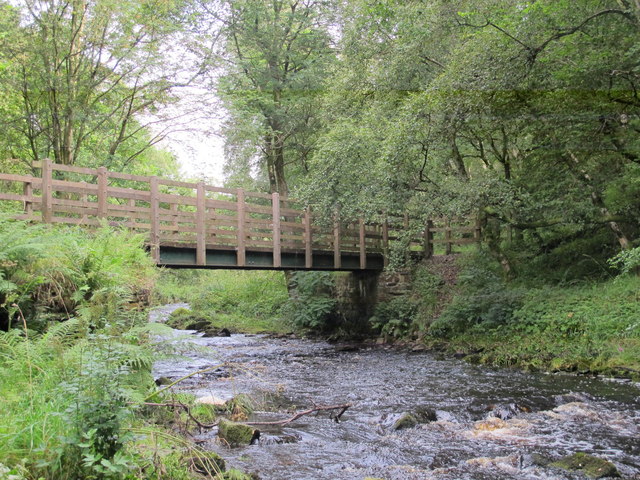
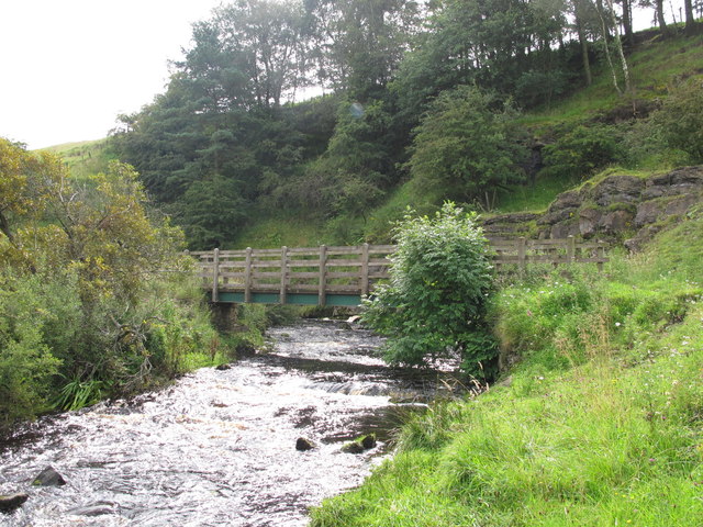
Footbridge over Haltwhistle Burn south of the Military Road
Pinned by Simon Cotterill
Co-Curate Page
Haltwhistle Burn Roman Fortlets
- Overview Map and Aerial View From about AD 105 there was a small fort guarding Stanegate, the Roman military road from Corbridge (Corio) to Carlisle (Luguvalium), where it crossed the …

from http://www.sciencedirect.com/…
Demonstrating the value of community-based (‘citizen science’) observations for catchment modelling and characterisation
- Starkeya E., Parkin G., Birkinshawa S. et al. Demonstrating the value of community-based (‘citizen science’) observations for catchment modelling and characterisation. Journal of Hydrology Vol 548, 2017, pp 801–817 "....Here …
Added by
Simon Cotterill
from http://research.ncl.ac.uk/hal…
Haltwhistle Burn
- "Newcastle University is working in partnership with the Tyne Rivers Trust (TRT) on a PhD project focussed around the Haltwhistle Burn. A ‘total catchment’ approach is proposed in the Haltwhistle …
Added by
Peter Smith

Co-Curate Page
Haltwhistle Burn 1 temporary camp, fortlet, and section of Stanegate
- Scheduled Monument (#1010945): Haltwhistle Burn 1 Roman temporary camp, fortlet and section of the Stanegate Click the headings below to expand (selected extracts from the Historic England scheduling) Significance The …

from Geograph (geograph)
Footbridge over Haltwhistle Burn south of the Military Road
Pinned by Simon Cotterill
Co-Curate Page
Haltwhistle Burn Roman Fortlets
- Overview Map and Aerial View From about AD 105 there was a small fort guarding Stanegate, the Roman military road from Corbridge (Corio) to Carlisle (Luguvalium), where it crossed the …
from http://www.sciencedirect.com/…
Demonstrating the value of community-based (‘citizen science’) observations for catchment modelling and characterisation
- Starkeya E., Parkin G., Birkinshawa S. et al. Demonstrating the value of community-based (‘citizen science’) observations for catchment modelling and characterisation. Journal of Hydrology Vol 548, 2017, pp 801–817 "....Here …
Added by
Simon Cotterill
from http://research.ncl.ac.uk/hal…
Haltwhistle Burn
- "Newcastle University is working in partnership with the Tyne Rivers Trust (TRT) on a PhD project focussed around the Haltwhistle Burn. A ‘total catchment’ approach is proposed in the Haltwhistle …
Added by
Peter Smith