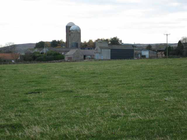
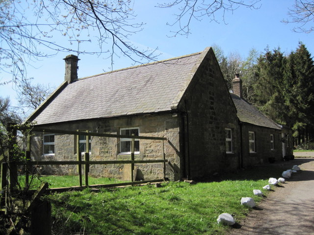
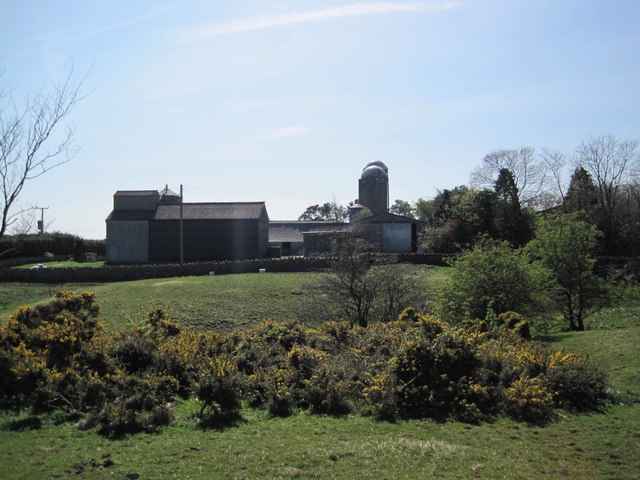
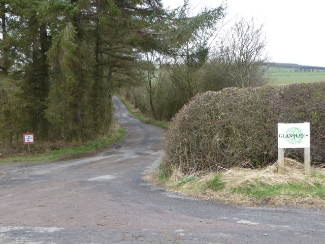
Topics > Northumberland > Glantlees

Glantlees


GREENS, with Glantlees, a township, in the parish of Felton, union of Alnwick, E. division of Coquetdale ward, N. division of Northumberland; containing 79 inhabitants. The township comprises 1,140 acres, and is situated about four miles north-west of Felton; the lands are set out in farms. The impropriate tithes have been commuted for £79.

Extract from: A Topographical Dictionary of England comprising the several counties, cities, boroughs, corporate and market towns, parishes, and townships..... 7th Edition, by Samuel Lewis, London, 1848.

Northumberland Felton Parish, 1848
from Geograph (geograph)
Glantlees Farm

Pinned by Simon Cotterill
from Geograph (geograph)
Farm Cottage near Glantlees

Pinned by Simon Cotterill
from Geograph (geograph)
Stables near Glantlees Farm

Pinned by Simon Cotterill
from Geograph (geograph)
Farm Buildings at Glantlees

Pinned by Simon Cotterill
from Geograph (geograph)
A covered spring-head north of Glantlees

Pinned by Simon Cotterill
from Geograph (geograph)
Track to Glantlees farm

Pinned by Simon Cotterill

Comments

Add a comment or share a memory.

Login to add a comment. Sign-up if you don't already have an account.


ABOUT US

Co-Curate is a project which brings together online collections, museums, universities, schools and community groups to make and re-make stories and images from North East England and Cumbria. Co-Curate is a trans-disciplinary project that will open up 'official' museum and 'un-officia'l co-created community-based collections and archives through innovative collaborative approaches using social media and open archives/data.

LATEST SHARED RESOURCES