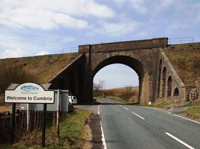
Topics > Civil Parishes in Cumbria > Garsdale Civil Parish
Garsdale Civil Parish
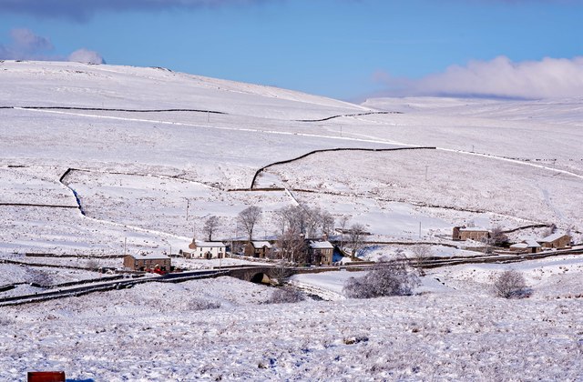
Includes the settlements of Grisdale, Garsdale ('The Street'), Garsdale Head, Clough, West Mostard.
Area: 44.8 km²
Population:
205 (2021 Census)
191 (2011 Census)
202 (2001 Census)
Co-Curate Page
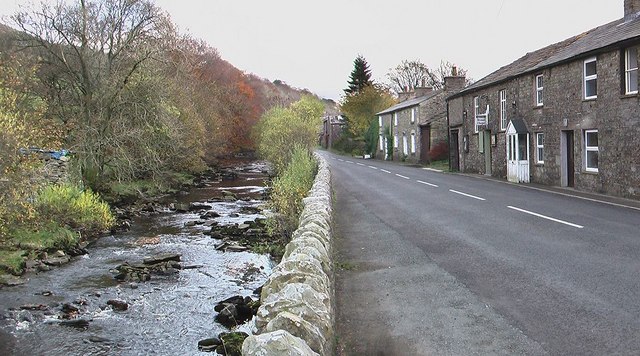
Garsdale ('The Street')
- Overview About Garsdale Map Street View Garsdale is the valley of the Clough River in Cumbria; it's main settlement is known as 'The Street' (or just 'Garsdale') and is spread …
Co-Curate Page
Clough (Garsdale)
- Overview Map Street View Clough is a hamlet in Garsdale (the valley of Clough River) in Cumbria. It forms part of Garsdale Civil Parish
Co-Curate Page
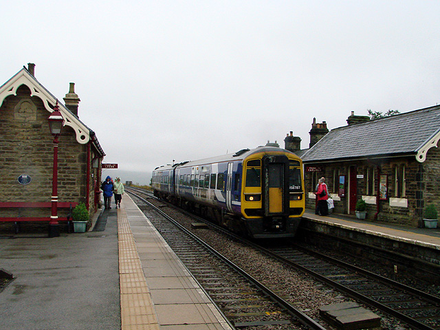
Garsdale Railway Station
- Overview Map Street View Garsdale is a railway station on the Settle and Carlisle Line, located on Coal Road, near Garsdale Head, in Cumbria. Originally named Hawes Junction, the station …

Co-Curate Page
Garsdale ('The Street')
- Overview About Garsdale Map Street View Garsdale is the valley of the Clough River in Cumbria; it's main settlement is known as 'The Street' (or just 'Garsdale') and is spread …
Co-Curate Page
Clough (Garsdale)
- Overview Map Street View Clough is a hamlet in Garsdale (the valley of Clough River) in Cumbria. It forms part of Garsdale Civil Parish
Co-Curate Page
Garsdale Railway Station
- Overview Map Street View Garsdale is a railway station on the Settle and Carlisle Line, located on Coal Road, near Garsdale Head, in Cumbria. Originally named Hawes Junction, the station …

Civil Parishes in Cumbria

Garsdale, 1848
Historic Buildings and Monuments in Garsdale Civil Parish
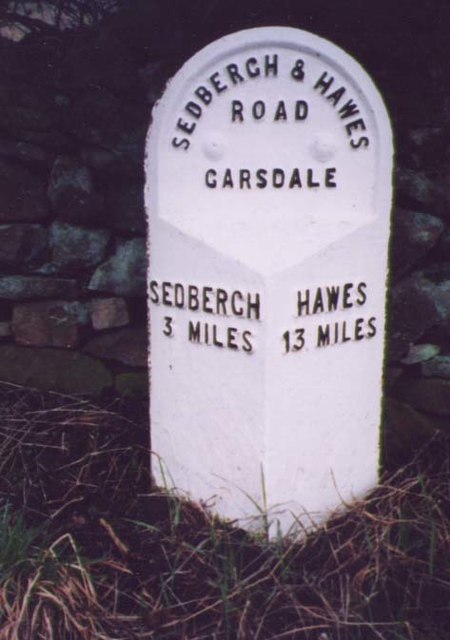
Milestone A684 (Sedbergh 3), Garsdale
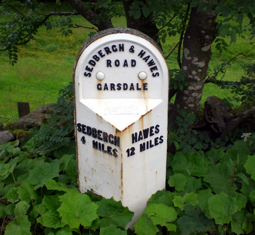
Milestone A684 (Sedbergh 4), Garsdale
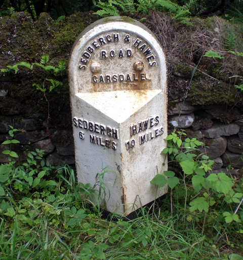
Milestone A684 (Sedbergh 6), Garsdale
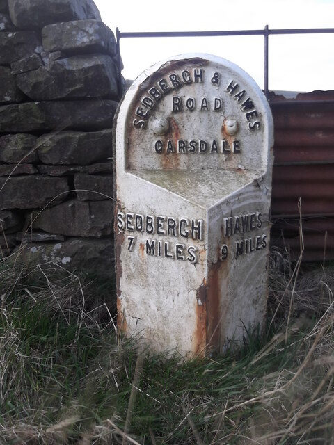
Milestone A684 (Sedbergh 7), Garsdale
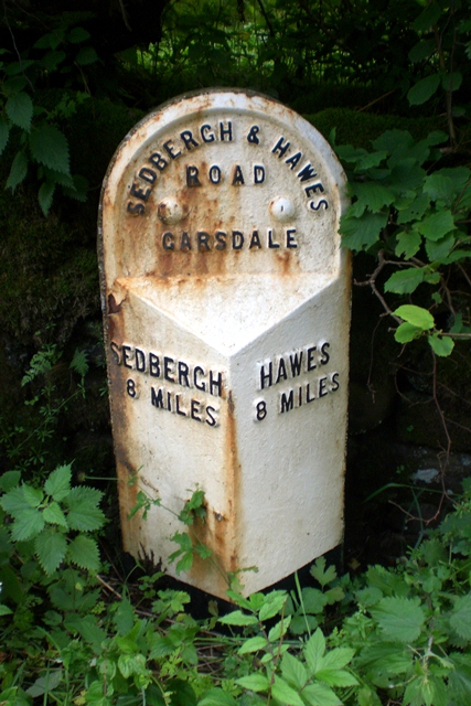
Milestone A684 (Sedbergh 8), Garsdale
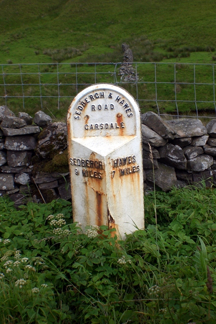
Milestone A684 (Sedbergh 9), Garsdale
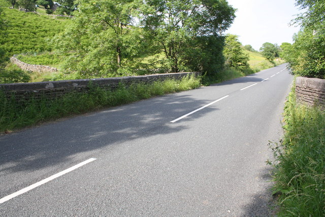
Mill Bridge, A684
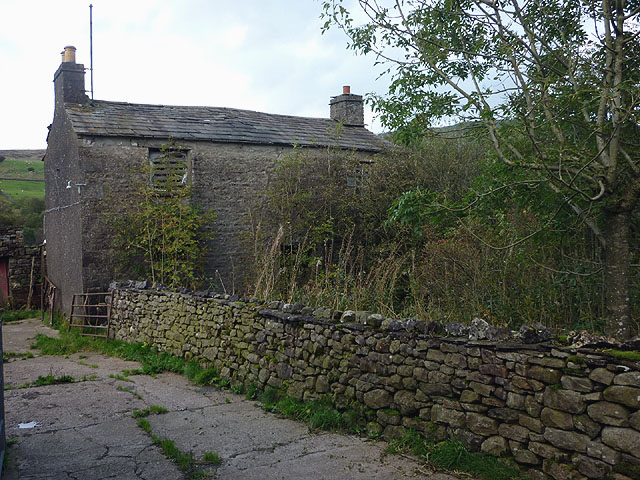
Potgill Holme, Garsdale

