Topics > Civil Parishes in Cumbria > Sedbergh Civil Parish > Fostrow and Soolbank
Fostrow and Soolbank
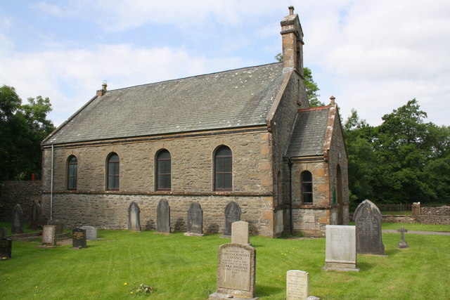
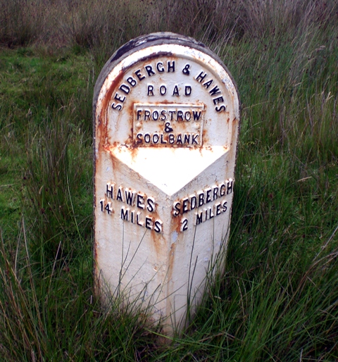
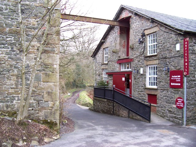
Fostrow and Soolbank were districts of the ancient parish of Sedbergh, covering a wide geographical area to the east of the town of Sedbergh. Hawes Road (A684) runs through the area. Along the road is Frostrow Methodist Church and an old milestone, near the junction with Frostrow Lane, including the words "Fostrow and Soolbank". Farfield Mill is shown on the 1839 Frostrow tithe map. Frostrow also included Fell Yeat, Low Branthwaites, Low Hollins, Green Farm, Moss Farm (not an exhaustive list). Frostrow Fells are located to the south-east of Sedbergh. Soolbank included Hollin Hill, Pedge Croft, Settlebeck, Stone Hall, Thornes Hall, Thursgill (not an exhaustive list).
from Geograph (geograph)
Old Milestone by the A684, Hawes Road, Sedbergh Parish
Pinned by Simon Cotterill
Co-Curate Page
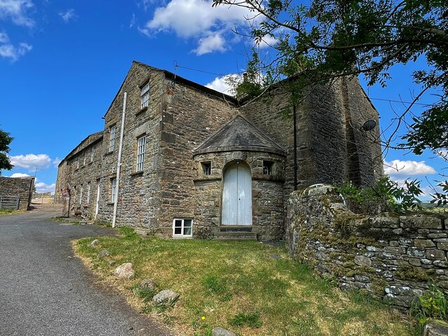
Farfield Mill, Sedbergh
- Overview Map Street View Farfield Mill, by the Clough River, is a former woollen mill, which operated from 1837 to 1992. It is located on a minor road off the …
Co-Curate Page
Thursgill, Cumbria
- Overview Map Street View Thursgill is a hamlet / farm on Buckbank Lane, located about 1½ miles north-east of Sedbergh. The house here, a former farmhouse, dates from the late …


from Geograph (geograph)
Old Milestone by the A684, Hawes Road, Sedbergh Parish
Pinned by Simon Cotterill
Co-Curate Page
Farfield Mill, Sedbergh
- Overview Map Street View Farfield Mill, by the Clough River, is a former woollen mill, which operated from 1837 to 1992. It is located on a minor road off the …
Co-Curate Page
Thursgill, Cumbria
- Overview Map Street View Thursgill is a hamlet / farm on Buckbank Lane, located about 1½ miles north-east of Sedbergh. The house here, a former farmhouse, dates from the late …