Topics > Northumberland > Fallowfield

Fallowfield


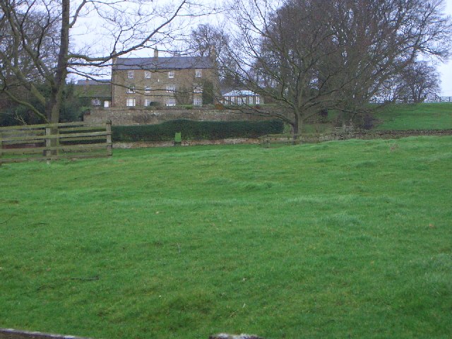
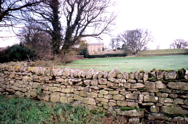
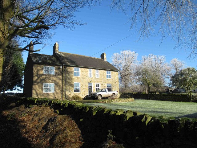
FALLOWFIELD, a township, in the parish of St. John Lee, union of Hexham, S. division of Tindale ward and of Northumberland, 3¼ miles (N.) from Hexham; containing 74 inhabitants. This place is situated to the east of the North Tyne river, and on the road from Hexham to Chollerton; the land is entirely wild moor. A vein of lead-ore was worked in 1835, but the lead was obtained only in small quantities. The hamlet, consisting of cottages, is seated on an eminence. About half a mile south of the remains of the Roman wall here, is a range of rocks, one of which, called Written Cragg, has deeply and legibly inscribed the words, "petra flavi carantini," noticed in the Archæologia Aeliana.

Extract from: A Topographical Dictionary of England comprising the several counties, cities, boroughs, corporate and market towns, parishes, and townships..... 7th Edition, by Samuel Lewis, London, 1848.

Northumberland St John Lee Parish, 1848
from Geograph (geograph)
Fallowfield House

Pinned by Simon Cotterill
from Geograph (geograph)
Fallowfield from the road

Pinned by Simon Cotterill
from Geograph (geograph)
Modern Farmhouse at Fallowfield

Pinned by Simon Cotterill
from Geograph (geograph)
Silos and barns, Fallowfield Farm

Pinned by Simon Cotterill
from Geograph (geograph)
Bridleway from Fallowfield to Salmonswell

Pinned by Simon Cotterill

Comments

Add a comment or share a memory.

Login to add a comment. Sign-up if you don't already have an account.


ABOUT US

Co-Curate is a project which brings together online collections, museums, universities, schools and community groups to make and re-make stories and images from North East England and Cumbria. Co-Curate is a trans-disciplinary project that will open up 'official' museum and 'un-officia'l co-created community-based collections and archives through innovative collaborative approaches using social media and open archives/data.

LATEST SHARED RESOURCES