Topics > Cumbria > Kirkby Lonsdale > Fairbank, Kirkby Lonsdale

Fairbank, Kirkby Lonsdale


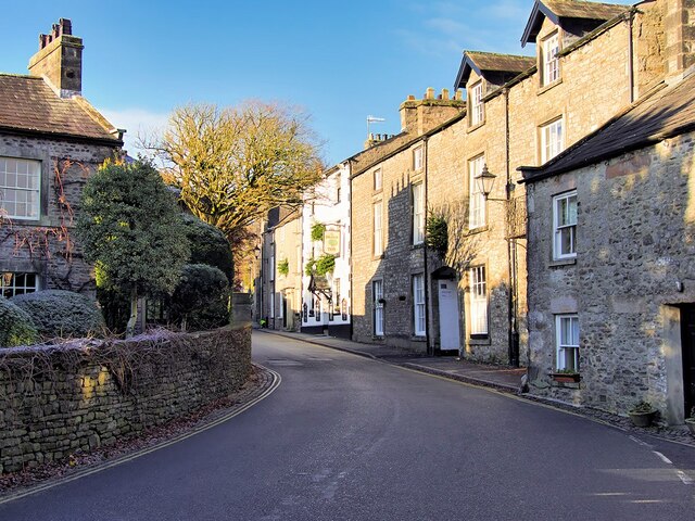
The Medieval town was defined by four roads which met near St Mary's Church: Mitchelgate (originally called ‘Bichelgate’) came in from Kendal and the west. Fairbank came from the north and Scotland. Mill Brow led east to a ford across the River Lune and routes east, including towards Settle in Yorkshire. Main Street was the road to the Devil’s Bridge and roures south to Lancaster, along the west bank of the Lune.
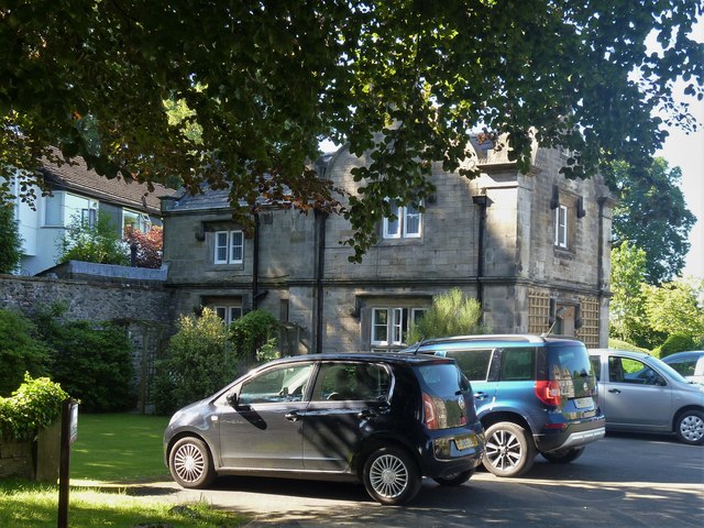
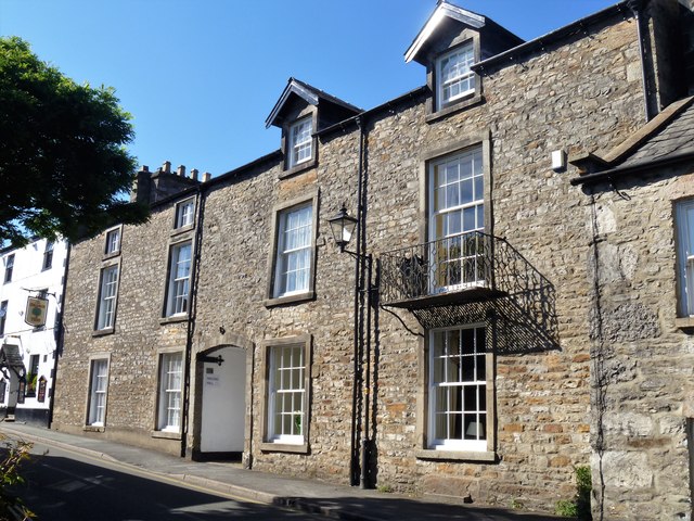
Kirkby Lonsdale Abbeyfield Lodge, Kirkby Lonsdale
from Geograph (geograph)
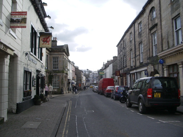
Fairbank (B6254) Kirkby Lonsdale

Pinned by Simon Cotterill
from Geograph (geograph)
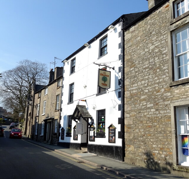
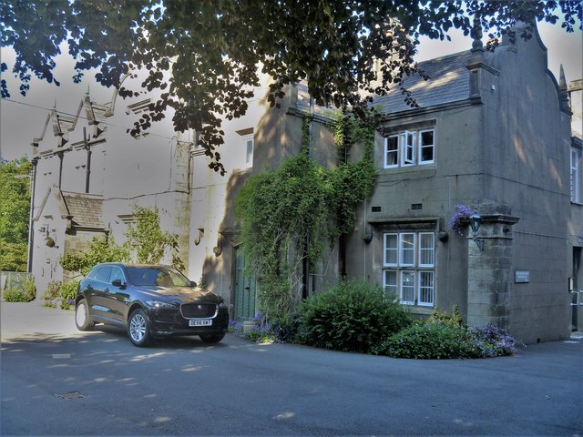
The Orange Tree Hotel, Kirkby Lonsdale

Pinned by Simon Cotterill
from Geograph (geograph)
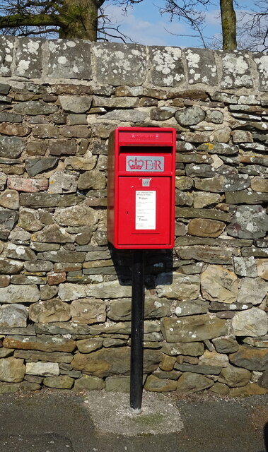
Elizabeth II postbox on Fairbank (B6254), Kirkby Lonsdale

Pinned by Simon Cotterill

Comments

Add a comment or share a memory.

Login to add a comment. Sign-up if you don't already have an account.


ABOUT US

Co-Curate is a project which brings together online collections, museums, universities, schools and community groups to make and re-make stories and images from North East England and Cumbria. Co-Curate is a trans-disciplinary project that will open up 'official' museum and 'un-officia'l co-created community-based collections and archives through innovative collaborative approaches using social media and open archives/data.

LATEST SHARED RESOURCES