Topics > Northumberland > East Unthank
East Unthank
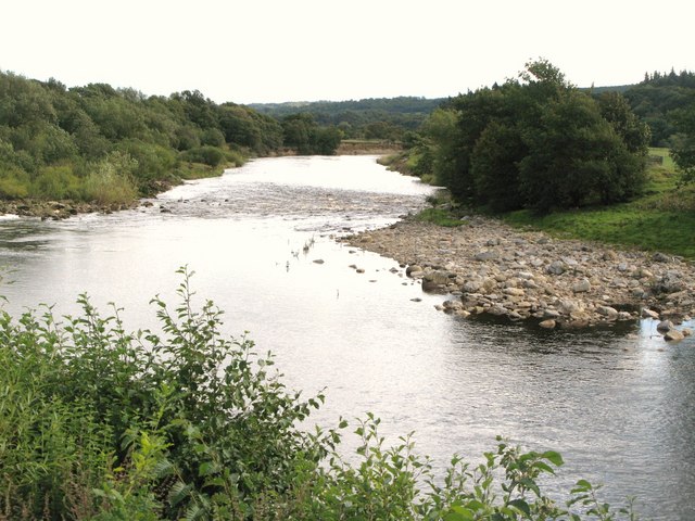
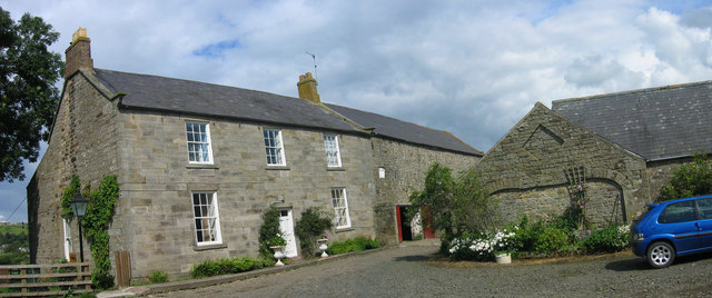
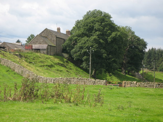
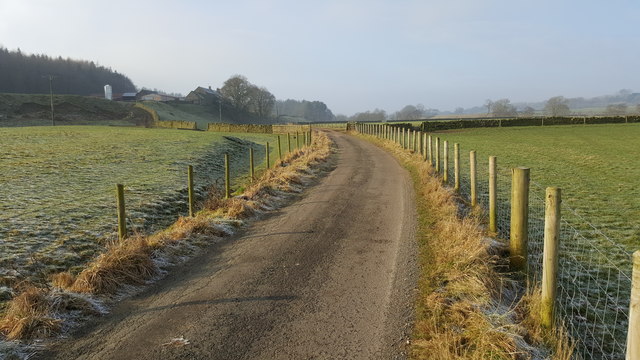
East Unthank is a farm, situated near the south banks of the River South Tyne. It is located on Unthank Road, about ½ mile east of Unthank Hall and South Unthank Farm, and is just under 2 miles east of Haltwhistle. East Unthank farmhouse and adjacent barn date from the early 19th century, and the cottage from c.1840 - the buildings are Grade II listed on the National Heritage List for England. Historically, Unthank was part of the township of Plainmellor (Plenmeller) in the ancient parish of Haltwhistle. Today, East Unthank is part of Plenmeller with Whitfield Civil Parish.

from https://historicengland.org.u…
EAST UNTHANK FARMHOUSE, COTTAGE AND ADJOINING OUTBUILDING - Plenmeller with Whitfield - List Entry
- House early C19, adjacent barn a little later, cottage c.1840. House fronted with tooled and margined ashlar,barn coursed rubble, cottage squared rubble, both with cut dressing; slate roofs. House 2 …
Added by
Simon Cotterill