Topics > Northumberland > East Cramlington
East Cramlington
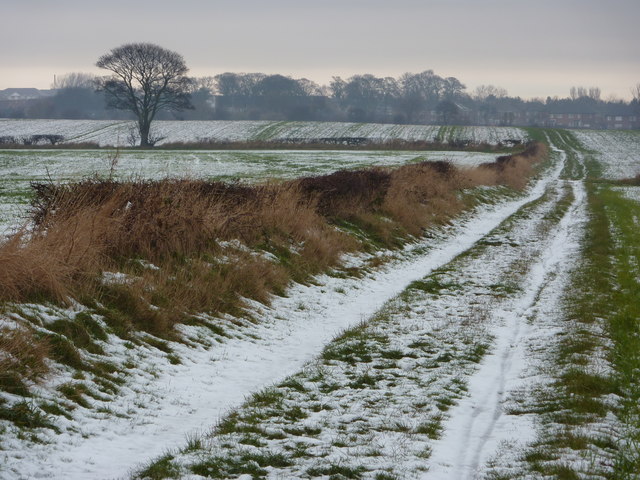
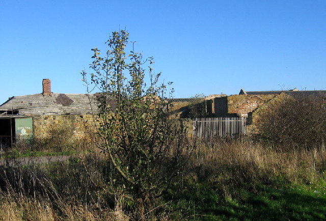
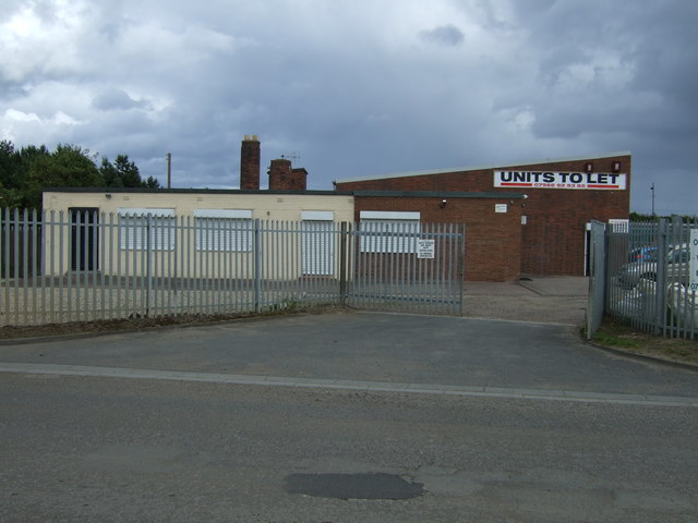
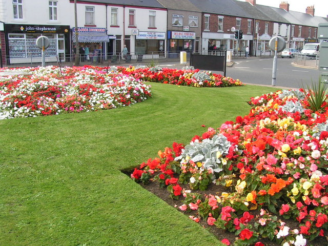
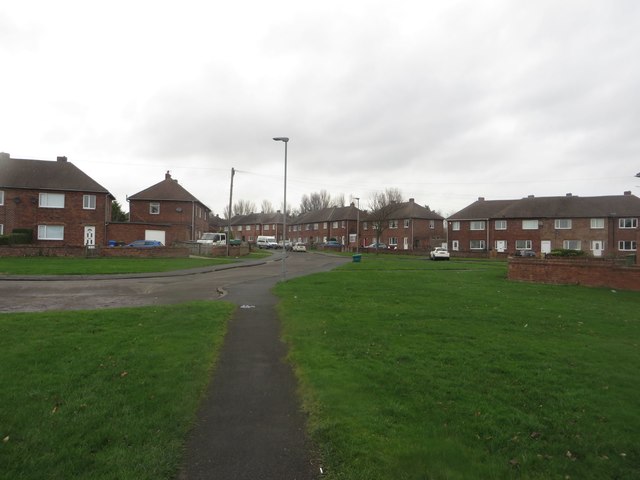
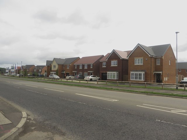
East Cramlington is a village in Northumberland, located at the east of Cramlington and a short distance west of Seaton Delaval on the B1326 road. There was a coal mine at East Cramlington from the 1860s or earlier[1] This was taken over by Hartley Main Collieries Ltd. and was one of a number of pits of Cramlington Colliery. The pit at East Cramlington closed in c.1939, but coal from other nearby pits belonging to Hartley Mains Collieries continued to be processed here for another 20 years, and over time there was a very large slag heap of mining waste. Today this is the site of East Cramlington Nature Reserve, a large landscaped public area with woods and a large pond. As well as residential housing there is a small industrial park at East Cramlington and the village is close to the NHS Northumbria Specialist Emergency Care Hospital.
from Geograph (geograph)
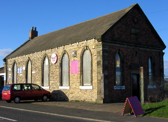
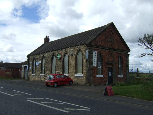
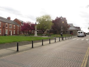
Former United Methodist Free Church, East Cramlington
Pinned by Simon Cotterill

from http://www.nwt.org.uk/reserve…
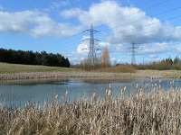
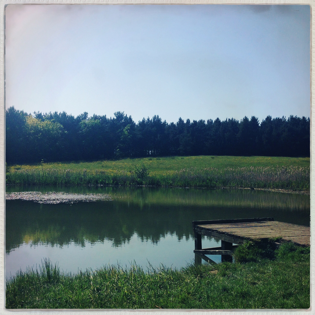
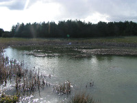
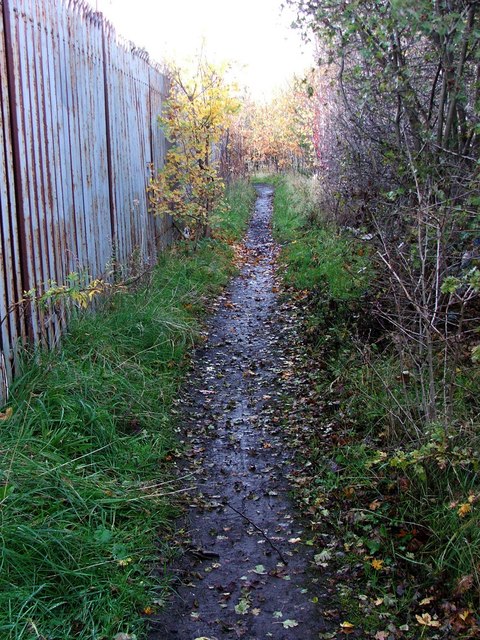
Back to reserve map East Cramlington Pond
- "This small reserve is on part of a former claypit but now contains a tranquil pond, grassland and areas of scrub...."
Added by
Simon Cotterill
from IllustratedChronicles (flickr)
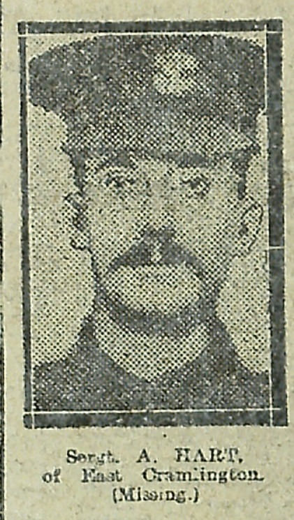
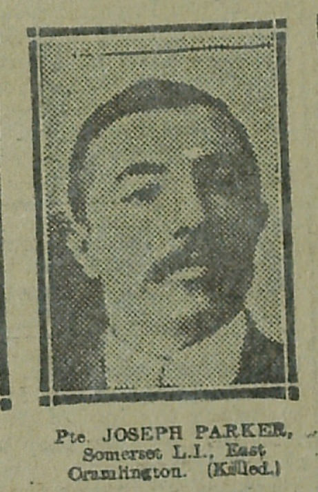
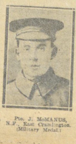
Joseph Parker - Somerset LI - East Cramlington (Killed)
Pinned by Simon Cotterill
Co-Curate Page
Cramlington
- Overview About Cramlington Map Cramlington is a town and civil parish in the county of Northumberland, North East England, situated 9 miles north of the city of Newcastle upon …
Co-Curate Page
Seaton Delaval
- Overview About Seaton Deleval Map Street View Seaton Delaval is a village in Northumberland, England, with a population of 4,371. It is the largest of the five villages in …
from IllustratedChronicles (flickr)
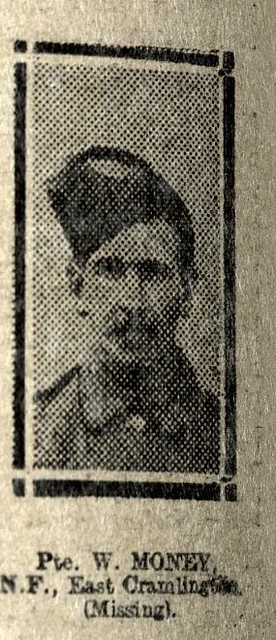
W. Money - N.F. - Cramlington - Missing
Pinned by Simon Cotterill
from IllustratedChronicles (flickr)
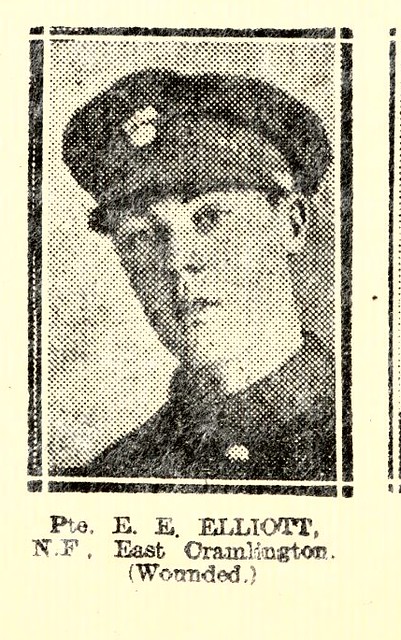
E.E. Elliott - NF - East Cramlington - Wounded
Pinned by Simon Cotterill

from Geograph (geograph)
Former United Methodist Free Church, East Cramlington
Pinned by Simon Cotterill
from http://www.nwt.org.uk/reserve…
Back to reserve map East Cramlington Pond
- "This small reserve is on part of a former claypit but now contains a tranquil pond, grassland and areas of scrub...."
Added by
Simon Cotterill
from IllustratedChronicles (flickr)
Joseph Parker - Somerset LI - East Cramlington (Killed)
Pinned by Simon Cotterill
Co-Curate Page
Cramlington
- Overview About Cramlington Map Cramlington is a town and civil parish in the county of Northumberland, North East England, situated 9 miles north of the city of Newcastle upon …
Co-Curate Page
Seaton Delaval
- Overview About Seaton Deleval Map Street View Seaton Delaval is a village in Northumberland, England, with a population of 4,371. It is the largest of the five villages in …
from IllustratedChronicles (flickr)
W. Money - N.F. - Cramlington - Missing
Pinned by Simon Cotterill
from IllustratedChronicles (flickr)
E.E. Elliott - NF - East Cramlington - Wounded
Pinned by Simon Cotterill


