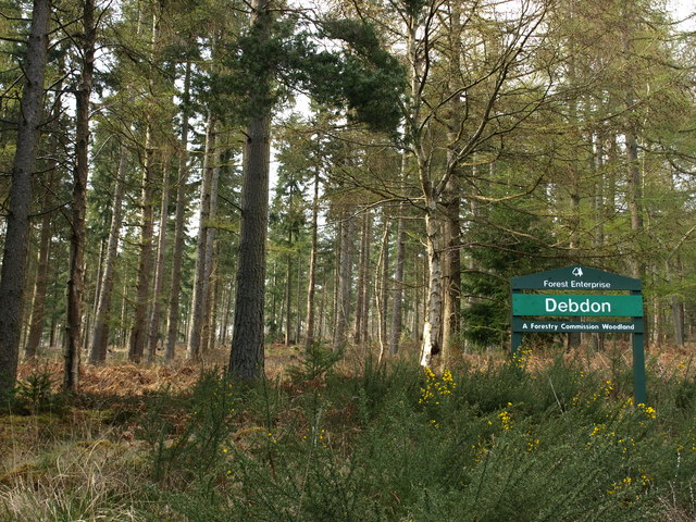
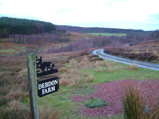
Topics > Northumberland > Debdon

Debdon


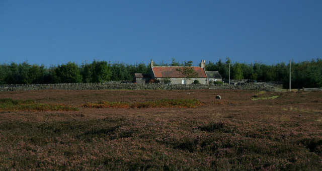
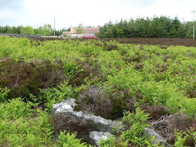
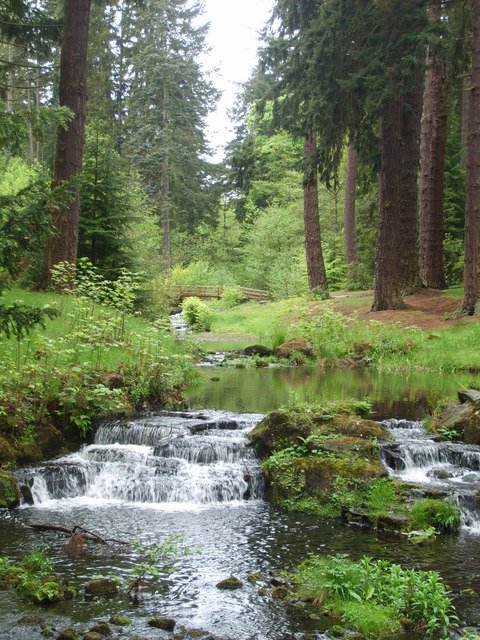
DEBDON, a township, in the parish and union of Rothbury, W. division of Coquetdale ward, N. division of Northumberland, 2¼ miles (N.) from Rothbury; containing 13 inhabitants. This place includes the northern portion of Rothbury Forest. Debdon Hill and Cragend Hill, between the Black burn and Debdon burn, exhibit heathy eminences and rugged and naked cliffs. There is a chalybeate spring, efficacious in scorbutic complaints. Several excavations have been made, from which ochre is obtained.

Extract from: A Topographical Dictionary of England comprising the several counties, cities, boroughs, corporate and market towns, parishes, and townships..... 7th Edition, by Samuel Lewis, London, 1848.

Northumberland Rothbury Parish, 1848 Debdon Burn
from Geograph (geograph)
Debdon Forest

Pinned by Simon Cotterill
from Geograph (geograph)
Track to Debdon Farm

Pinned by Simon Cotterill
from Geograph (geograph)
Debdon Pitt Cottage

Pinned by Simon Cotterill
from Geograph (geograph)
Debden Pitt Cottage

Pinned by Simon Cotterill

Comments

Add a comment or share a memory.

Login to add a comment. Sign-up if you don't already have an account.


ABOUT US

Co-Curate is a project which brings together online collections, museums, universities, schools and community groups to make and re-make stories and images from North East England and Cumbria. Co-Curate is a trans-disciplinary project that will open up 'official' museum and 'un-officia'l co-created community-based collections and archives through innovative collaborative approaches using social media and open archives/data.

LATEST SHARED RESOURCES